
Existed: 1964 – present Constructed 1964 | Length 9.51 km | |
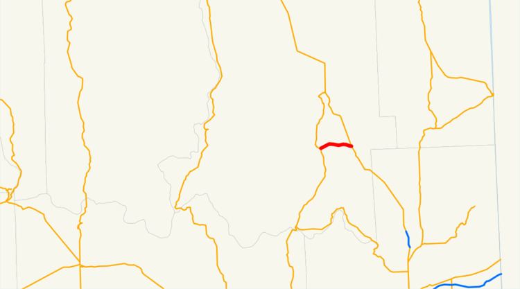 | ||
State Route 292 (SR 292) is a 5.91-mile (9.51 km) long state highway located entirely in Stevens County, Washington, United States. The highway begins at an interchange with SR 231 in Springdale and travels east to an intersection with U.S. Route 395 (US 395) near Loon Lake.
Contents
Map of WA-292, Loon Lake, WA 99148, USA
Route description
Beginning at an intersection with SR 231, named Main Street, in Springdale, the highway travels east, quickly exiting the city and traversing rural woodlands, paralleling a BNSF Railway line. The highway descends, crossing over the railroad line and entering the community on the northern shores of Loon Lake before terminating at US 395.
Every year the Washington State Department of Transportation (WSDOT) conducts a series of surveys on its highways in the state to measure traffic volume. This is expressed in terms of average annual daily traffic (AADT), which is a measure of traffic volume for any average day of the year. In 2009, WSDOT calculated that as few as 1,800 cars traveled on the highway near the western terminus, and as many as 4,800 cars used the highway at its eastern terminus at US 395.
History
Before the 1964 state highway renumbering, SR 292 was designated Secondary State Highway 3J.
Major intersections
The entire route is in Stevens County.