
Length 34.2 km | ||
 | ||
South end | ||
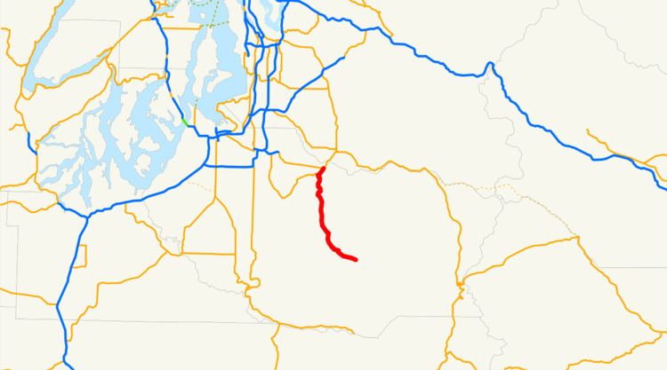
State Route 165 is a numbered state highway in Washington, United States. Its northern terminus is at State Route 410 in Buckley. Its southern terminus is at the Mount Rainier National Park boundary near Mowich Lake.
Contents
Map of WA-165, Washington, USA
Route description
The road begins at an intersection with State Route 410 in Buckley. It heads south, intersects with State Route 162 and then passes through the towns of Wilkeson and Carbonado. South of Carbonado, the road forks and the pavement ends. The north fork goes to the Carbon River entrance to Mount Rainier National Park, while SR 165 continues along the south fork (Mowich Lake Road) into Mount Rainier National Park.
State maintenance (along with the State Route 165 designation) ends at the park boundary. Mowich Lake Road continues 6 miles (9 km) into the park, ending at ranger station at Mowich Lake. The road inside the park is only open from July to October each year due to winter conditions.
History
State Route 165 was added to the state highway system in 1931 as a part of State Road 5. In 1937, this was renamed Primary State Highway 5, and what is now SR 165 was the Enumclaw-Fairfax branch of that highway (except between Enumclaw and Buckley, which is now SR 410). When the current highway numbering system was developed with the 1964 renumbering, the highway became State Route 165.
Major intersections
The entire highway is in Pierce County.