
Existed: 1964 – present Constructed 1964 | Touristroutes: Cascade Loop Length 49.54 km Tourist routes Cascade Loop | |
 | ||
County | ||
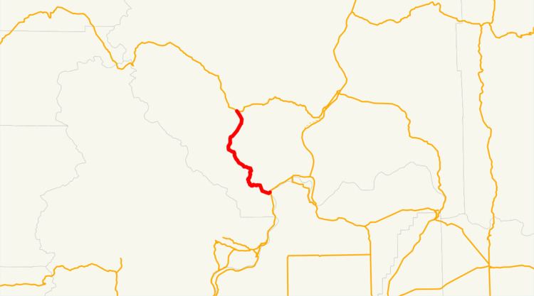
State Route 153 (SR 153, named the Methow Valley Highway) is a 30.78-mile (49.54 km) long state highway in the U.S. state of Washington, serving as part of the Cascade Loop in Okanogan County. The Methow Valley Highway begins at an intersection with U.S. Route 97 (US 97) in Pateros at the confluence of the Methow River and the Columbia River. SR 153 travels northwest, parallel to the Methow River, to end at SR 20 south of Twisp. The highway was first established in 1897 as the Methow-Barron Road and was designated as various highways, including State Road 12 from 1905 to 1919, the Roosevelt Highway from 1919 to 1923, and Primary State Highway 16 (PSH 16) until the 1964 highway renumbering, when it became SR 153.
Contents
Map of WA-153, Washington, USA
Route description
SR 153, part of the Cascade Loop, begins at an intersection with US 97 south of the confluence of the Methow River into the Columbia River in Pateros. The highway dips south before leaving Pateros into farmland and serving Alta Lake State Park to the south near the Chelan National Forest. SR 153 crosses the Methow River twice heading west towards the Sawtooth Ridge and turns north to the communities of Methow and Carlton. The highway continues northwest, ending at an intersection with SR 20 southeast of Twisp and Twisp Municipal Airport.
Every year the Washington State Department of Transportation (WSDOT) conducts a series of surveys on its highways in the state to measure traffic volume. This is expressed in terms of average annual daily traffic (AADT), which is a measure of traffic volume for any average day of the year. In 2011, WSDOT calculated that between 1,400 and 2,500 vehicles per day used the highway, mostly at the northern terminus near Twisp.
History
SR 153 follows the route of the unpaved Methow-Barron Road, which was established in 1897 and later became State Road 12 in 1905. State Route 12 was named as part of the Roosevelt Highway in 1919 and became the secondary Methow Valley Highway in 1923. The Methow Valley Highway was later made into a primary state highway in 1925 and became Primary State Highway 16 (PSH 16) during the creation of the Primary and secondary state highways in 1937. PSH 16 was extended westward and became the North Cross State Highway in 1961, before the establishment of SR 153 during the 1964 highway renumbering.
Major intersections
The entire highway is in Okanogan County.