
Area 1,098 km² Population 12,722 (2013) | Website www.washconc.org Founded 1799 | |
 | ||
Points of interest Roanoke River Light, Somerset Place, Pettigrew State Park, Roanoke River Maritime, Port O' Plymouth Museum | ||
Washington County is a county located in the U.S. state of North Carolina. As of the 2010 census, the population was 13,228. Its county seat is Plymouth. The county was formed in 1799 from the western third of Tyrrell County. It was named for George Washington.
Contents
- Map of Washington County NC USA
- Geography
- Adjacent counties
- National protected area
- Major highways
- Demographics
- Law and government
- Education
- Towns
- Unincorporated communities
- Townships
- References
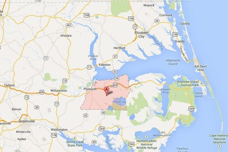
Map of Washington County, NC, USA
Geography
According to the U.S. Census Bureau, the county has a total area of 424 square miles (1,100 km2), of which 348 square miles (900 km2) is land and 76 square miles (200 km2) (18%) is water. The county borders the Albemarle Sound.
Adjacent counties
National protected area
Major highways
Demographics
As of the census of 2000, there were 13,723 people, 5,367 households, and 3,907 families residing in the county. The population density was 39 people per square mile (15/km²). There were 6,174 housing units at an average density of 18 per square mile (7/km²). The racial makeup of the county was 48.28% White, 48.94% Black or African American, 0.05% Native American, 0.32% Asian, 0.04% Pacific Islander, 1.66% from other races, and 0.70% from two or more races. 2.27% of the population were Hispanic or Latino of any race.
There were 5,367 households out of which 31.70% had children under the age of 18 living with them, 50.10% were married couples living together, 18.80% had a female householder with no husband present, and 27.20% were non-families. 24.70% of all households were made up of individuals and 11.70% had someone living alone who was 65 years of age or older. The average household size was 2.52 and the average family size was 2.99.
In the county, the population was spread out with 26.00% under the age of 18, 7.70% from 18 to 24, 25.00% from 25 to 44, 25.80% from 45 to 64, and 15.50% who were 65 years of age or older. The median age was 39 years. For every 100 females there were 89.70 males. For every 100 females age 18 and over, there were 86.10 males.
The median income for a household in the county was $28,865, and the median income for a family was $34,888. Males had a median income of $27,058 versus $19,477 for females. The per capita income for the county was $14,994. About 17.60% of families and 21.80% of the population were below the poverty line, including 31.50% of those under age 18 and 19.20% of those age 65 or over.
Law and government
Washington County is a member of the Albemarle Commission regional council of governments.
Washington County is one of the proposed sites for a Navy outlying landing field. This practice airfield would allow pilots to simulate landings on an aircraft carrier. Construction, which has not yet begun, is controversial [1] due to its potential ecological impact.