
Founded 1739 Website www.co.bertie.nc.us Population 20,344 (2013) Unemployment rate 7.0% (Apr 2015) | Area 1,919 km² | |
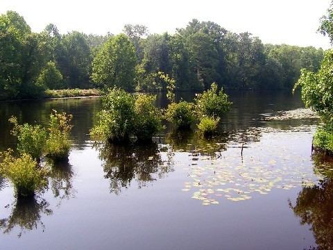 | ||
Rivers Chowan River, Roanoke River, Barbeque Swamp | ||
Bertie county north carolina deer hunt 2015
Bertie County is a county located in the U.S. state of North Carolina. As of the 2010 census, the population was 21,282. Its county seat is Windsor. The county was created in 1722 as Bertie Precinct and gained county status in 1739.
Contents
- Bertie county north carolina deer hunt 2015
- Map of Bertie County NC USA
- History
- Geography
- Adjacent counties
- National protected area
- Major highways
- Demographics
- Law and government
- Education
- Population ranking
- References
Map of Bertie County, NC, USA
The Sans Souci Ferry is the county's only ferry.
History
The county was formed as Bertie Precinct in 1722 from the part of Chowan Precinct of Albemarle County lying west of the Chowan River. It was named for James Bertie, his brother Henry Bertie, or perhaps both, each having been one of the Lords Proprietors of Carolina.
In 1729 parts of Bertie Precinct, Chowan Precinct, Currituck Precinct, and Pasquotank Precinct of Albemarle County were combined to form Tyrrell Precinct. With the abolition of Albemarle County in 1739, all of its constituent precincts became separate counties. In 1741 parts of Bertie County became Edgecombe County and Northampton County. Finally, in 1759 parts of Bertie County, Chowan County, and Northampton County were combined to form Hertford County, and Bertie was reduced to its present size.
Geography
According to the U.S. Census Bureau, the county has a total area of 741 square miles (1,920 km2), of which 699 square miles (1,810 km2) is land and 42 square miles (110 km2) (5.7%) is water.
Adjacent counties
National protected area
Major highways
Demographics
As of the 2010 United States Census, there were 21,282 people residing in the county. 62.5% were Black or African American, 35.2% White, 0.5% Asian, 0.5% Native American, 0.5% of some other race and 0.9% of two or more races. 1.3% were Hispanic or Latino (of any race).
As of the census of 2000, there were 19,773 people, 7,743 households, and 5,427 families residing in the county. The population density was 28 people per square mile (11/km²). There were 9,050 housing units at an average density of 13 per square mile (5/km²). The racial makeup of the county was 36.30% White, 62.34% Black or African American, 0.44% Native American, 0.11% Asian, 0.01% Pacific Islander, 0.33% from other races, 0.48% from two or more races. 0.99% of the population were Hispanic or Latino of any race.
There were 7,743 households out of which 29.70% had children under the age of 18 living with them, 46.00% were married couples living together, 20.10% had a female householder with no husband present, and 29.90% were non-families. 27.00% of all households were made up of individuals and 13.10% had someone living alone who was 65 years of age or older. The average household size was 2.53 and the average family size was 3.07.
In the county, the population was spread out with 26.10% under the age of 18, 7.70% from 18 to 24, 26.40% from 25 to 44, 23.80% from 45 to 64, and 16.00% who were 65 years of age or older. The median age was 39 years. For every 100 females there were 87.60 males. For every 100 females age 18 and over, there were 82.00 males.
The median income for a household in the county was $25,177, and the median income for a family was $30,186. Males had a median income of $26,866 versus $18,318 for females. The per capita income for the county was $14,096. About 19.30% of families and 26% of the population were below the poverty line, including 30.70% of those under age 18 and 28.30% of those age 65 or over.
Law and government
Bertie County is a member of the Mid-East Commission regional council of governments.
Education
Population ranking
The population ranking of the following table is based on the 2010 census of Bertie County.
† county seat