Country United States FIPS code 19-82290 Population 876 (2010) | Time zone Central (CST) (UTC-6) GNIS feature ID 0462685 Local time Saturday 8:05 PM | |
 | ||
Weather 21°C, Wind S at 21 km/h, 50% Humidity Area 3.237 km² (3.212 km² Land / 3 ha Water) | ||
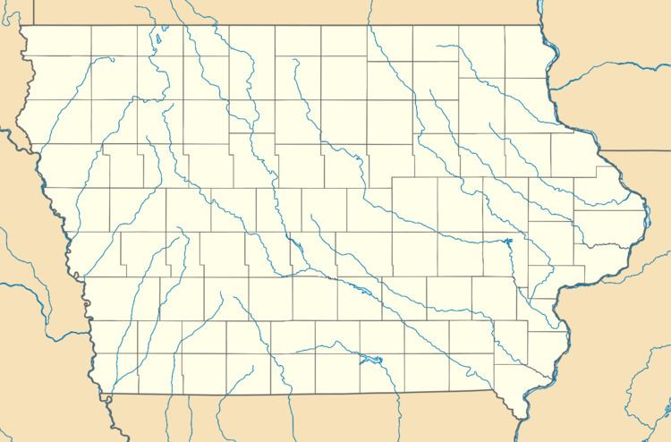
Washburn is an unincorporated town and census-designated place (CDP) in Black Hawk County, Iowa, United States. Washburn lies south of Waterloo on U.S. Route 218. Other towns near Washburn are Gilbertville and La Porte City. The community is part of the Waterloo–Cedar Falls Metropolitan Statistical Area.
Map of Washburn, IA 50702, USA
Washburn was platted in 1880.
The 2010 census recorded a population of 876 for the Washburn CDP.
References
Washburn, Iowa Wikipedia(Text) CC BY-SA
