
OS grid reference SU451635 Sovereign state United Kingdom Local time Sunday 1:56 AM Dialling code 01635 | Post town NEWBURY | |
 | ||
Weather 7°C, Wind S at 5 km/h, 84% Humidity | ||
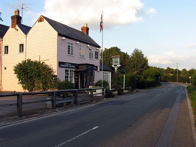
Pub food newbury berkshire 01635 43027 the woodpecker wash water
Wash Water is an hamlet on the border of Berkshire, and Hampshire. It is divided between the civil parishs of Enborne (where according to Grid Refs the majority of the population at the 2011 Census was included), Newbury, Highclere and East Woodhay. The settlement lies adjacent to the A343 and A34 highways (Newbury Bypass), approximately 3 miles (4.8 km) south-south-west of Newbury.
Contents
- Pub food newbury berkshire 01635 43027 the woodpecker wash water
- Map of Wash Water Newbury UK
- References
Map of Wash Water, Newbury, UK
Some locals claim it is named after the spot on the River Enborne where women washed the troops' clothes during or after the First Battle of Newbury of the English Civil War, others say it is because wool was washed in the local rivers before fulling in the two nearby mills.
Village facilities include a public house called the Woodpecker Inn, formerly the Derby Arms.