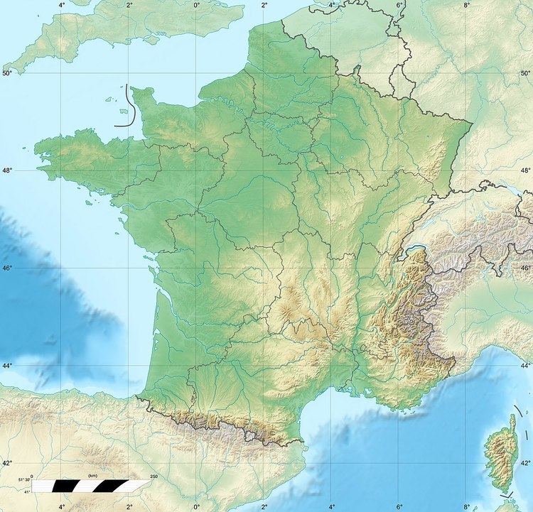
Parent range Vosges Range Vosges | Elevation 526 m | |
 | ||
Location Lower Alsace, Alsace, France | ||
The Wasenkoepfel (526 m) is a hill northwest of Oberbronn in the Lower Alsace in the French Vosges. It is the highest point of the southern Wasgau, a Franco-German, cross-border region that comprises the southern part of the Palatinate Forest and the northern part of the Vosges.
Contents
Map of Wasenkoepfel, 67110 Oberbronn, France
TourismEdit
The Wasenkoepfel lies on the French long-distance path, the GR 53. It is also accessible on foot from Oberbronn on the path to the ruins of Château du Grand-Arnsberg (German: Burg Groß Arnsburg) taking about three quarters of an hour. There is an observation tower at the top erected in 1887 by the Vosges Club (Club Vosgien); however its view is now restricted by trees.
References
Wasenkoepfel Wikipedia(Text) CC BY-SA
