
Elevation 120 m | County Bartoszyce Population 0 Local time Sunday 1:44 AM | |
 | ||
Weather 6°C, Wind SW at 11 km/h, 88% Humidity Voivodeship Warmian-Masurian Voivodeship | ||
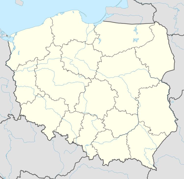
Warszkajty [varʂˈkai̯tɨ] (German: Warschkeiten) is a former village in the administrative district of Gmina Górowo Iławeckie, within Bartoszyce County, Warmian-Masurian Voivodeship, in northern Poland, directly at the border to the Kaliningrad Oblast of Russia. It lies approximately 15 kilometres (9 mi) north-east of Górowo Iławeckie, 17 km (11 mi) north-west of Bartoszyce, and 65 km (40 mi) north of the regional capital Olsztyn.
Contents
Map of Warszkajty, Poland
Before 1945 the area was part of Germany (East Prussia).
Population
References
Warszkajty Wikipedia(Text) CC BY-SA