
Population 84 (2006 census) Postal code 4411 | Postcode(s) 4411 Local time Sunday 7:28 AM | |
 | ||
Location 256 km (159 mi) NW of Brisbane129 km (80 mi) NW of Toowoomba46 km (29 mi) NW of Dalby36 km (22 mi) SE of Chinchilla Weather 16°C, Wind SE at 8 km/h, 93% Humidity | ||
Warra is a town in the Darling Downs region of Queensland, Australia. It is in the Western Downs Region local government area and on the Warrego Highway, 256 kilometres (159 mi) north west of the state capital, Brisbane. At the 2006 census, Warra had a population of 84.
Contents
Map of Warra QLD 4411, Australia
History
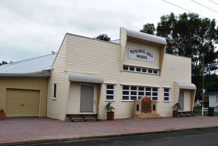
The Warra Honour Board was unveiled on 14 May 1917 by Member of the Queensland Legislative Assembly in Dalby, William Vowles.
Miscellaneous
The name Warra has been used as a name for a crater on the planet Mars, without specifically commemorating the town.
References
Warra, Queensland Wikipedia(Text) CC BY-SA