
Time zone CST (UTC-6) Elevation 293 m Local time Sunday 8:53 PM | Established November 2, 1852 ZIP codes 61044, 61048, 61085 Area 46.33 km² Population 224 (2010) | |
 | ||
Weather 21°C, Wind S at 16 km/h, 65% Humidity | ||
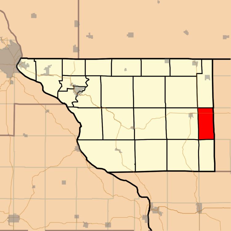
Wards Grove Township is one of twenty-three townships in Jo Daviess County, Illinois, USA. As of the 2010 census, its population was 224 and it contained 103 housing units.
Contents
- Map of Wards Grove Township IL USA
- Geography
- Adjacent townships
- Cemeteries
- Major highways
- School districts
- Political districts
- References
Map of Wards Grove Township, IL, USA
Geography
According to the 2010 census, the township has a total area of 17.89 square miles (46.3 km2), all land.
Adjacent townships
Cemeteries
The township contains Blair Cemetery.
Major highways
School districts
Political districts
References
Wards Grove Township, Jo Daviess County, Illinois Wikipedia(Text) CC BY-SA