
Postcode(s) 6765 Mean max temp Mean min temp 35.6 °C 19.1 °C Postal code 6765 | Mean min temp Annual rainfall 19.1 °C 541.2 mm | |
 | ||
Location 130 km (81 mi) south east of Fitzroy Crossing, Western Australia | ||
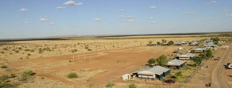
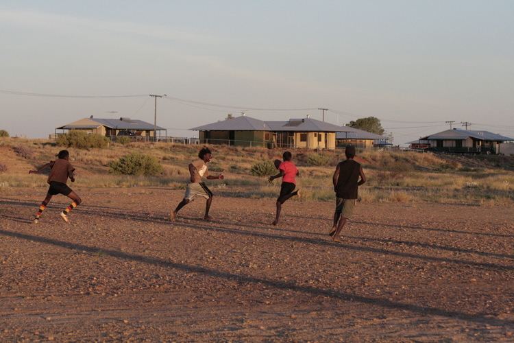
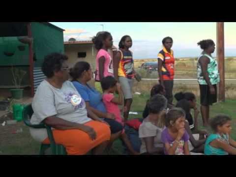
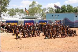
Wangkatjungka is a large Aboriginal community, located 130 km south east of Fitzroy Crossing in the Kimberley region of Western Australia, within the Shire of Derby-West Kimberley.
Contents
Native title
The community is located within the registered Kurungal (WAD6217/98) Native Title claim area.
Governance
The community is managed through its incorporated body, Kurungal Inc.
Town planning
Wangkatjungka Layout Plan No.1 has been prepared in accordance with State Planning Policy 3.2 Aboriginal Settlements. Layout Plan No.1 was endorsed by. The Layout Plan map-set and background report can be viewed at Planning Western Australia official site.

References
Wangkatjungka Community Wikipedia(Text) CC BY-SA