
District Friesland Time zone CET/CEST (UTC+1/+2) Local time Sunday 10:19 PM | Elevation 2 m (7 ft) Area 176 km² Population 10,105 (31 Dec 2008) | |
 | ||
Postal codes 26434, 26441 (Groß Hauskreuz) Weather 14°C, Wind S at 11 km/h, 58% Humidity Points of interest Phänomania Carolinensiel, Nordsee‑Spielstadt Wangerland, Muschelmuseum, GRUSELEUM, Wohnmobil Stellplatz | ||
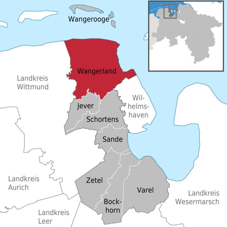
Wangerland is a municipality in the district of Friesland, Lower Saxony, Germany. It is situated on the North Sea coast, approximately 20 km northwest of Wilhelmshaven, and 10 km north of Jever. Its seat is in the village Hohenkirchen.
Contents
Map of Wangerland, Germany
History
First settlements are dated on the 2nd century B.C.
Subdivision
The municipality consists of the following villages: Altgarmssiel, Förrien, Friederikensiel, Hohenkirchen, Hooksiel, Horumersiel, Middoge, Minsen, Neugarmssiel, Oldorf, Schillig, Tettens, Waddewarden and Wiarden.
References
Wangerland Wikipedia(Text) CC BY-SA