Prefecture-level city Changsha Time zone China Standard (UTC+8) Area 1,361 km² Local time Monday 4:13 AM | Seat Gaotangling Website www.wangcheng.gov.cn Population 527,600 (2011) Province Hunan | |
 | ||
Country People's Republic of China Weather 12°C, Wind N at 21 km/h, 88% Humidity University Hunan University of Traditional Chinese Medicine Points of interest Jinggang Ancient Town, Changsha Tongguan Kiln Site, Changsha Heimifeng Forest Park, Leifeng Memorial Hall | ||
Wangcheng District (simplified Chinese: 望城区; traditional Chinese: 望城區; pinyin: Wàngchéng Qū) is one of six urban districts of Changsha, Hunan province, China. the district is bordered to the north by Miluo City and Xiangyin County of Yueyang, to the west by Heshan District of Yiyang and Ningxiang County, to the south by Yuelu and Kaifu Districts, to the east by Changsha County. Located in the northsouth of the City proper in Changsha, Wangcheng covers 951.06 km2 (367.21 sq mi) with registered population of 560,567 and resident population of 562,100 (as of 2014). The district has 10 subdistricts and 5 towns under its jurisdiction, the government seat is at Gaotangling Subdistrict.
Contents
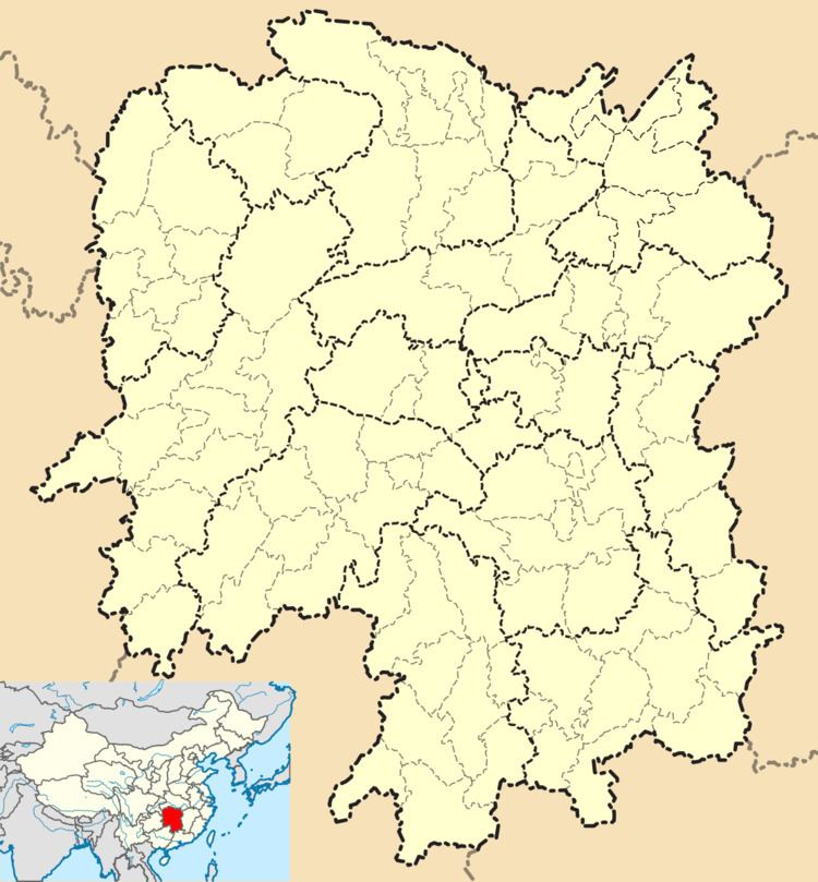
Map of Wangcheng, Changsha, Hunan, China
History
Wangcheng was formed from a portion of Changsha County, dividing the Changsha County into 2 counties of Changsha and Wangcheng in 1951, remergeing into the Changsha County in 1957, recreating in December 1977 based on the original area at its abolishment in 1957. The former Wangcheng County was reorganized to Wangcheng District of Changhsha on 20 May 2011.
The name "Wangcheng" originated from the county seat where it was located, Wangcheng Slope (Chinese: 望城坡; pinyin: Wàngchéng Pō), on the west bank of the Xiang River in Changsha. At the time the county was formed, the county seat was transferred to Gaotangling (simplified Chinese: 高塘岭; traditional Chinese: 髙塘嶺; pinyin: gāo táng lǐng) in 1952.
Geography
Located in the central north of Changsha, in the low reaches of the Xiang River, Wangcheng adjoins east to Changsha county, Miluo, north to Xiangyin, the Heshan District of Yiyang, west to Ningxiang, southwest to the Yuelu, southeast to the Kaifu. It covers an area of 951.06 sq. kilometers, accounting for 8.05% of Changsha; as one of six urban districts, it shares 49.8% of Changsha urban area.
Administrative divisions
According to the result on adjustment of township-level administrative divisions of Wangcheng District on November 19, 2015, Wangcheng has 10 subdistricts and 5 towns under its jurisdiction. they are:
Economy
Wangcheng Economic and Technological Development Zone (WETZ) was established on 13 July, 2000, upgraded to an ETZ at state level on 15 February, 2014. It covers Baishazhou, Huangjinyuan, Jinshanqiao and Wushan 4 subdistricts. It has an approved area of 6.33 km2 (2.44 sq mi) and a planning area of 59.6 km2 (23.0 sq mi). The dominant industries in the zone are non-ferrous metal new materials, food, electronic information and business logistics. As of 2015, there are 635 registered enterprises, 32 of the total are public or the global Top500 companies. The total industrial gross output in the zone hits 77 billion yuan (US$ 12.36 billion) and the industrial added value is 20 billion yuan (US$ 3.21 billion).
