
Country Thailand Tambon 4 Time zone THA (UTC+7) Area 137.9 km² Province Nakhon Phanom Province | Seat Wang Yang Muban 27 Postal code 48130 Population 15,187 (2013) Geocode 4812 | |
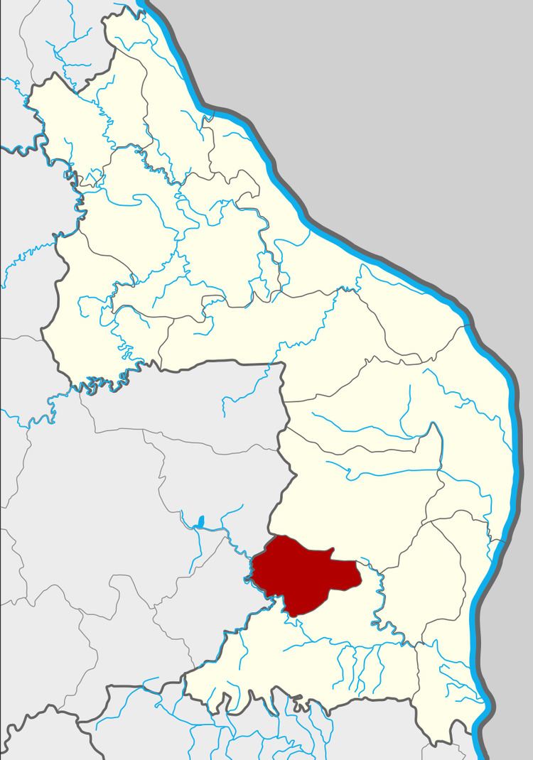 | ||
Wang Yang (Thai: วังยาง) is a district (Amphoe) of Nakhon Phanom Province, northeastern Thailand.
Contents
- Map of Wang Yang District Nakhon Phanom 48130 Thailand
- Geography
- History
- Central administration
- Local administration
- References
Map of Wang Yang District, Nakhon Phanom 48130, Thailand
Geography
Neighboring districts are (from the north clockwise) Pla Pak and Na Kae of Nakhon Phanom Province, Khok Si Suphan and Phon Na Kaeo of Sakon Nakhon Province.
History
The minor district (King Amphoe) Wang Yang was established on July 1, 1997, when four tambon were split off from Na Kae district.
Following a decision of the Thai government on May 15, 2007, all of the 81 minor districts were to be upgraded to full districts. With the publishing in the Royal Gazette on August 24 the upgrade became official.
Central administration
The district Wang Yang is subdivided into 4 subdistricts (Tambon), which are further subdivided into 27 administrative villages (Muban).
Local administration
There are 3 subdistrict administrative organizations (SAO) in the district: