
Country Thailand Time zone THA (UTC+7) Area 1,687 km² Province Phitsanulok Province | Seat Wang Thong Postal code 65130 Population 119,103 (2009) Geocode 6508 | |
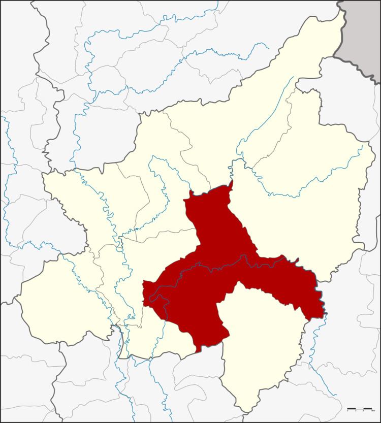 | ||
Wang Thong (Thai: วังทอง) is a district (amphoe) of Phitsanulok Province, northern Thailand.
Contents
- Map of Wang Thong District Phitsanulok Thailand
- History
- Geography
- Rivers
- Swamps
- Administration
- Significant Settlements
- Radio
- Attractions
- Recent Flooding
- References
Map of Wang Thong District, Phitsanulok, Thailand
History
The district was established in 1895 in the name Nakhon Pa Mak district after the name of the central tambon, with the district office located at Ban Sam Ruen. As the old location was not convenient for transportation and was flooded every year, the government moved the district office to the eastern side of the Wang Thong River, where now is the Wang Thong Municipal Market.
In 1928 the government created Bang Krathum district, Tambon Phai Lom, Noen Kum and Nakhon Pa Mak were reassigned to the new district. At the same time, Tambon Kaeng Sopha and Ban Klang of Nakhon Thai district were reassigned to Wang Thong.
Later the east riverbank of Wang Thong River was scoured thus the district office was moved to the present area. The district name was changed to be Pa Mak in 1931 and finally Wang Thong in 1939.
Geography
Neighboring districts are (from the south clockwise) Sak Lek of Phichit Province, Bang Krathum, Mueang Phitsanulok, Wat Bot, Chat Trakan, Nakhon Thai of Phitsanulok Province, Khao Kho of Phetchabun Province and Noen Maprang of Phitsanulok Province again.
Rivers
Wang Thong lies within the Nan Basin, which is part of the Chao Phraya Watershed. The important water resource is Wang Thong River (Khek River). The Khwae Noi River and Tha Muen Ram River also flow through this district.
Swamps
The Bueng Rachanok Swamp is a popular tourist destination in the district.
Administration
The district is subdivided into 11 subdistricts (tambon), which are further subdivided into 166 villages (muban). Wang Thong is subdistrict municipality (thesaban tambon) which covers part of the same-named tambon. There are further 11 Tambon administrative organizations (TAO).
Significant Settlements
The following settlements of the Wang Thong District are significant enough in size as to occupy multiple muban:
Radio
Attractions
Recent Flooding
Wang Thong was hit by severe flooding in 2007. By October 8, 2007, flooding in the Wang Thong District had killed at least three people, and the district was declared a disaster zone.