
Country Thailand Seat Wang Nuea Time zone ICT (UTC+7) Area 1,034 km² Geocode 5207 | Province Lampang Amphoe established 1938 Postal code 52140 Population 44,777 (2008) | |
 | ||
Wang Nuea (Thai: วังเหนือ; [wāŋ nɯ̌a]) is the northernmost district (amphoe) of Lampang Province, northern Thailand.
Contents
Map of Wang Nuea District, Lampang, Thailand
Geography
Neighboring districts are (from the east clockwise) Mae Chai and Mueang Phayao of Phayao Province, Ngao, Chae Hom and Mueang Pan of Lampang Province, Wiang Pa Pao and Phan of Chiang Rai Province.
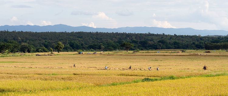
Mountains dominate the landscape of the district, the Khun Tan Range on the western side and the Phi Pan Nam Range on the eastern.
History
Till 1904 the district Chae Hom was named Wang Nuea. A new minor district (King Amphoe) Wang Nuea was established on 15 May 1938 as a subordinate of Chae Hom District. It was upgraded to a full district in 1958.
Administration
The district is divided into eight sub-districts (tambon), which are further subdivided into 77 villages (muban). Wang Nuea and Ban Mai are the two townships (thesaban tambon), both covering parts of the tambon Wang Nuea. There are a further eight tambon administrative organizations (TAO).