Country Thailand Time zone THA (UTC+7) Area 1,130 km² Geocode 3025 | Seat Wang Nam Khiao Postal code 30370, 30150 Population 41,485 (2000) | |
 | ||
Province Nakhon Ratchasima Province | ||
Wang nam khiao nakhon ratchasima thailand
Wang Nam Khiao (Thai: วังน้ำเขียว) is a district (amphoe) in the southern part of Nakhon Ratchasima Province, northeastern Thailand.
Contents
- Wang nam khiao nakhon ratchasima thailand
- Map of Wang Nam Khiao District Nakhon Ratchasima Thailand
- History
- Geography
- Administration
- References
Map of Wang Nam Khiao District, Nakhon Ratchasima, Thailand
History
The minor district (King Amphoe) Wang Nam Khiao was created by separating the four tambon Wang Nam Khiao, Wang Mi, Udom Sap and Raroeng of Pak Thong Chai district on April 1, 1992. It was officially upgraded to a full district on December 5, 1996.
Geography
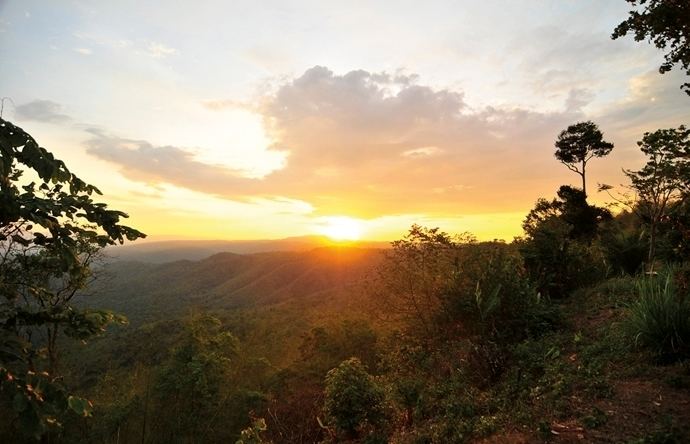
Neighboring districts are (from the north clockwise) Pak Thong Chai, Khon Buri of Nakhon Ratchasima Province, Na Di, Prachantakham of Prachinburi Province, Pak Chong and Sung Noen of Nakhon Ratchasima again. The Sankamphaeng Range mountainous area is located in the southern section of this district.
Administration
The district is subdivided into 5 subdistricts (tambon). San Chao Pho is a township (thesaban tambon), which covers parts of the tambon Wang Nam Khiao and Thai Samakkhi.
