
Country Thailand Time zone THA (UTC+7) Area 338 km² Province Saraburi Province | Seat Wang Muang Postal code 18220 Population 17,536 (2005) Geocode 1912 | |
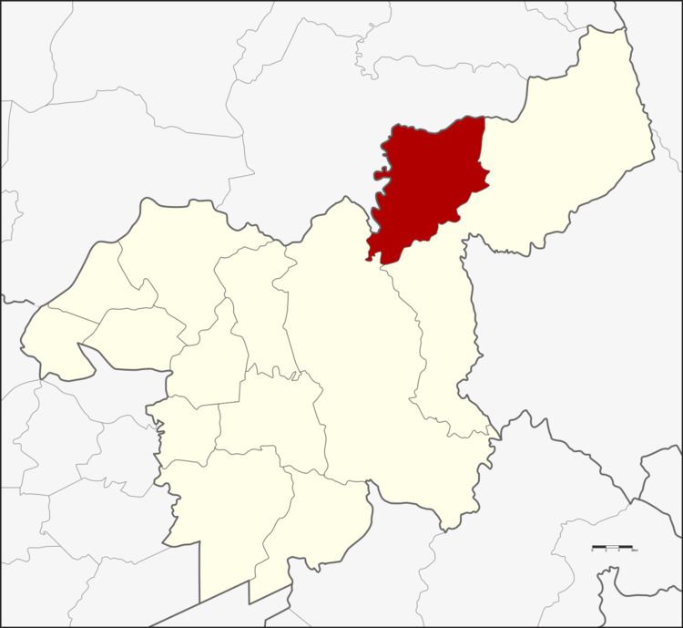 | ||
Wang Muang (Thai: วังม่วง) is a district (Amphoe) in the northern part of Saraburi Province, central Thailand.
Contents
Map of Wang Muang District, Saraburi Province, Thailand
History
The district was created as a minor district (King Amphoe) on April 1, 1990, with three tambon taken from Muak Lek district. It was upgraded to full district status on September 7, 1995.
Geography
Neighboring district are (from the north clockwise) Phatthana Nikhom of Lopburi Province and Muak Lek and Kaeng Khoi of Saraburi Province.
Administration
The district is subdivided into 3 subdistricts (tambon), which are further subdivided into 31 villages (muban). Wang Muang is the only township (thesaban tambon), covering parts of tambon Wang Muang and Kham Phran. There are three Tambon administrative organizations (TAO).
References
Wang Muang District Wikipedia(Text) CC BY-SA