
Country United States County Liberty FIPS code 13-80256 Area 9.8 km² Zip code 31333 Population 4,094 (2013) | Time zone Eastern (EST) (UTC-5) GNIS feature ID 0356617 Elevation 27 m Local time Saturday 10:08 PM Area code 912 | |
 | ||
Weather 12°C, Wind W at 2 km/h, 74% Humidity | ||
Walthourville is a city in Liberty County, Georgia, United States. It is a part of the Hinesville-Fort Stewart metropolitan statistical area. The population was 4,030 at the 2000 census.
Contents
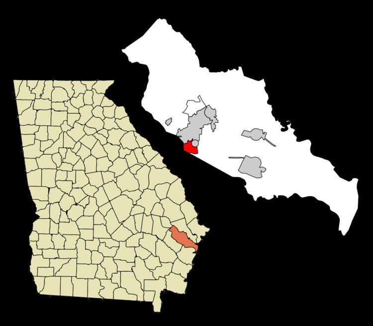
Map of Walthourville, GA, USA
Geography
Walthourville is located at 31°46′34″N 81°37′27″W (31.776124, -81.624229).
According to the United States Census Bureau, the city has a total area of 3.8 square miles (9.8 km²), all land.
Demographics
As of the 2010 United States Census, there were 4,111 people residing in the city. The racial makeup of the city was 56.9% Black, 27.6% White, 0.6% Native American, 1.4% Asian, 0.5% Pacific Islander, 0.4% from some other race and 4.4% from two or more races. 8.3% were Hispanic or Latino of any race.
As of the census of 2000, there were 4,030 people, 1,361 households, and 1,012 families residing in the city. The population density was 1,064.2 people per square mile (410.6/km²). There were 1,639 housing units at an average density of 432.8 per square mile (167.0/km²). The racial makeup of the city was 36.97% White, 55.06% African American, 0.87% Native American, 0.94% Asian, 0.35% Pacific Islander, 2.98% from other races, and 2.83% from two or more races. Hispanic or Latino of any race were 6.38% of the population.
There were 1,361 households out of which 51.7% had children under the age of 18 living with them, 53.0% were married couples living together, 15.5% had a female householder with no husband present, and 25.6% were non-families. 19.3% of all households were made up of individuals and 3.1% had someone living alone who was 65 years of age or older. The average household size was 2.96 and the average family size was 3.39.
In the city, the population was spread out with 36.3% under the age of 18, 15.2% from 18 to 24, 36.0% from 25 to 44, 9.8% from 45 to 64, and 2.8% who were 65 years of age or older. The median age was 24 years. For every 100 females there were 97.9 males. For every 100 females age 18 and over, there were 99.2 males.
The median income for a household in the city was $32,359, and the median income for a family was $34,980. Males had a median income of $26,382 versus $20,270 for females. The per capita income for the city was $12,291. About 13.4% of families and 15.0% of the population were below the poverty line, including 20.3% of those under age 18 and 21.1% of those age 65 or over.
Points of interest
In the vicinity of Walthourville across the county line near the intersection of Tibet Highway and Griffin Road lies Tea Grove Plantation, an outdoor collection of historic buildings, vehicles, and farming equipment open to the public.
Walthourville Presbyterian Church is on the National Register of Historical Places.
Notable person
Robert Walthour - Two-time World Champion cyclist