
Basin countries Australia Max. length 25 kilometres (16 mi) Surface elevation 0 cm Length 25 km | Managing agency Mid-Coast Council Area 98.7 km² Catchment area 1,197 km² Islands Hadleys Island | |
 | ||
Primary inflows Outflow location Tasman Sea, Coolongolook River | ||
Dji inspire 1 aerial wallis lake new south wales australia by stephen wark drone guy
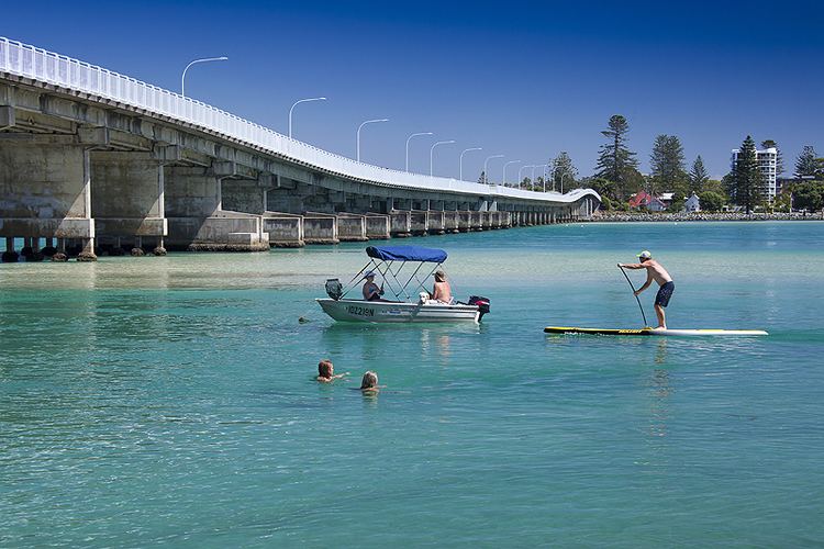
Wallis Lake, an open and trained wave dominated barrier estuary, is located within the Mid-Coast Council local government area in the Mid North Coast region of New South Wales, Australia. Wallis Lake is located adjacent to the towns of Forster and Tuncurry, and adjacent to the east coast, about 308 kilometres (191 mi) north of Sydney.
Contents
- Dji inspire 1 aerial wallis lake new south wales australia by stephen wark drone guy
- Map of Wallis Lake New South Wales Australia
- Wallis lake fishermen s co operative top tourist parks discover downunder
- Features and location
- References
Map of Wallis Lake, New South Wales, Australia
Wallis lake fishermen s co operative top tourist parks discover downunder
Features and location
Drawing its catchment from within Wallingat National Park and the Wallamba River, Coolongolook River, and Pipers Creek, Wallis Lake has a catchment area of 1,197 square kilometres (462 sq mi) and a surface area of 99 square kilometres (38 sq mi). When full, Wallis Lake covers an area of around 10,000 hectares (25,000 acres), is approximately 25 kilometres (16 mi) long, with a width of 9 kilometres (5.6 mi).
Hadleys Island lies within Wallis Lake, near the confluence of the Wallamba and Coolongolook rivers.
The waterways surrounding Wallis Lake are well known for oyster production.
Lake Wallis was named in honour of James Wallace, a soldier of the 46th Regiment.