- left Teatree Creek - elevation 35 m (115 ft) - elevation 0 m (0 ft) | - location near Bungwhal - location at Junction Point | |
 | ||
- right Boggy Creek, Sugar Creek (New South Wales) | ||
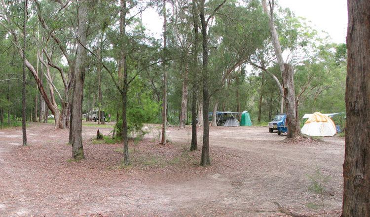
Australia wallingat np wallingat river kayak
Wallingat River, a watercourse of the Mid-Coast Council system, is located in the Mid North Coast district of New South Wales, Australia.
Contents
- Australia wallingat np wallingat river kayak
- Map of Wallingat River New South Wales Australia
- Course and features
- References
Map of Wallingat River, New South Wales, Australia
Course and features
Wallingat River rises in low lands near Bungwhal, and flows generally north through Wallingat National Park, joined by three minor tributaries, before reaching its confluence with the Coolongolook River at Junction Point; descending 36 metres (118 ft) over its 24 kilometres (15 mi) course.
References
Wallingat River Wikipedia(Text) CC BY-SA
