
Postcode(s) 2588 Population 305 (2011 census) | Postal code 2588 Local time Saturday 9:32 AM LGA(s) Gundagai Council | |
 | ||
Location 362 km (225 mi) SW of Sydney147 km (91 mi) NW of Canberra113 km (70 mi) NE of Wagga Wagga20 km (12 mi) NE of Cootamundra Weather 17°C, Wind N at 10 km/h, 56% Humidity | ||
Nr17 an6 nr6 1wm2 at wallendbeen
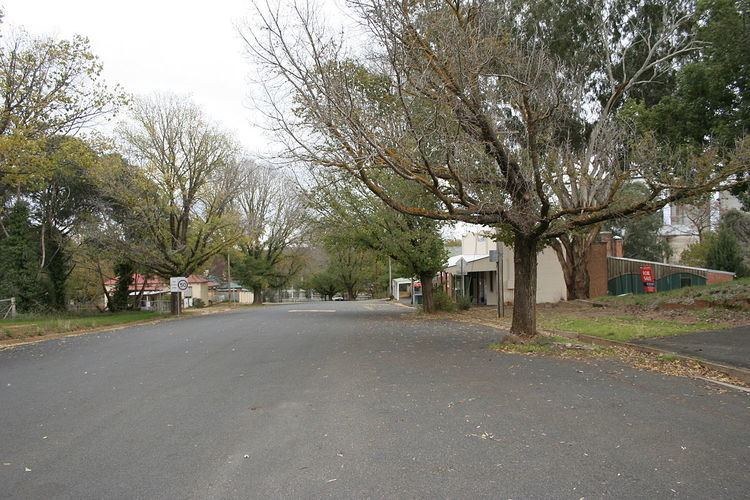
Wallendbeen is a small town in southern New South Wales, Australia, administered by Gundagai Council. At the 2011 census, Wallendbeen and the surrounding area had a population of 305. The town's name is derived from an aboriginal word for "stony hill".
Contents
- Nr17 an6 nr6 1wm2 at wallendbeen
- Map of Wallendbeen NSW 2588 Australia
- Cootamundra 12 03 2017 race 5 wallendbeen hotel pace heat 1
- References
Map of Wallendbeen NSW 2588, Australia
The town is located on the intersection of the Olympic Highway and the Burley Griffin Way and on the Sydney–Melbourne railway, opened to Wallendbeen in 1877. Wheat is an important industry for the area. It has a fine oval, which has supported a cricket club since 1887. Wallendbeen Post Office opened on 1 July 1885.
It is now becoming a dormitory suburb of Cootamundra.
Cootamundra 12 03 2017 race 5 wallendbeen hotel pace heat 1
References
Wallendbeen Wikipedia(Text) CC BY-SA