Postcode(s) 4872 Local time Saturday 12:53 AM Population 630 (2006 census) | Postal code 4872 State electorate(s) Tablelands | |
 | ||
Location 1,702 km (1,058 mi) NW of Brisbane76 km (47 mi) W of Cairns15 km (9 mi) S of Mareeba LGA(s) Tablelands Regional Council Weather 22°C, Wind SE at 14 km/h, 75% Humidity | ||
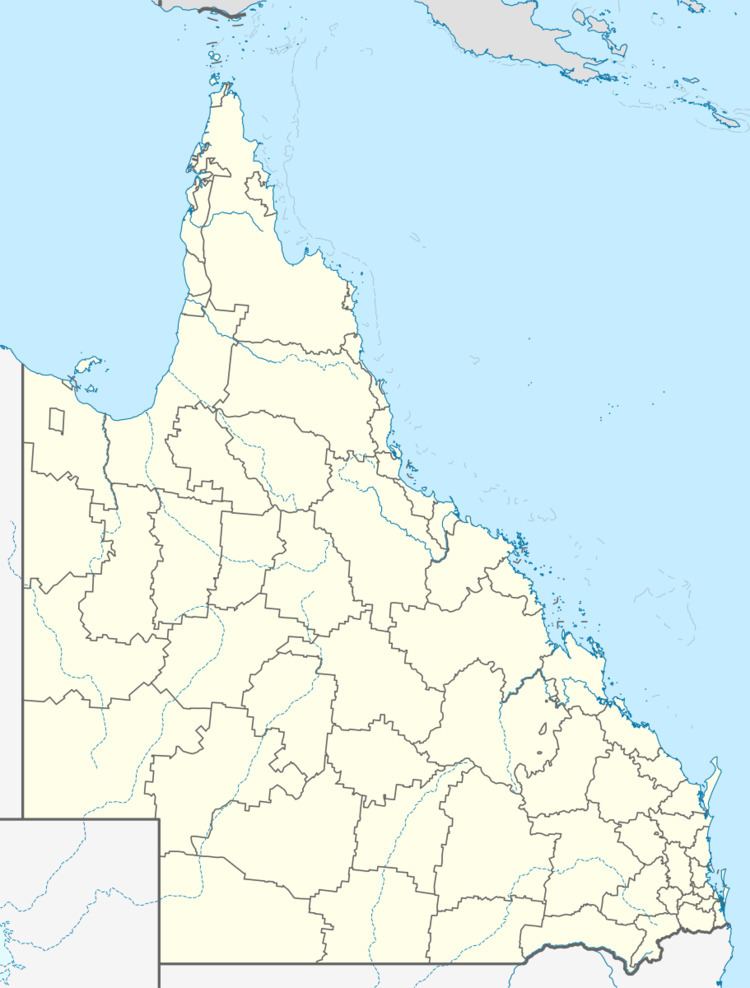
Walkamin is a town on the Atherton Tableland in Far North Queensland, Australia. It is located between Mareeba and Tolga. At the 2006 census, Walkamin and the surrounding area had a population of 630.
Map of Walkamin QLD 4872, Australia
References
Walkamin, Queensland Wikipedia(Text) CC BY-SA
