
Country United States County St. Clair Elevation 702 ft (214 m) ZIP code 48027 (Goodells) Local time Friday 5:21 AM | Organized 1841 Time zone Eastern (EST) (UTC-5) Population 2,986 (2000) | |
 | ||
Weather 0°C, Wind N at 26 km/h, 86% Humidity | ||
Wales Township is a civil township of St. Clair County in the U.S. state of Michigan. The population was 2,986 at the 2000 census.
Contents
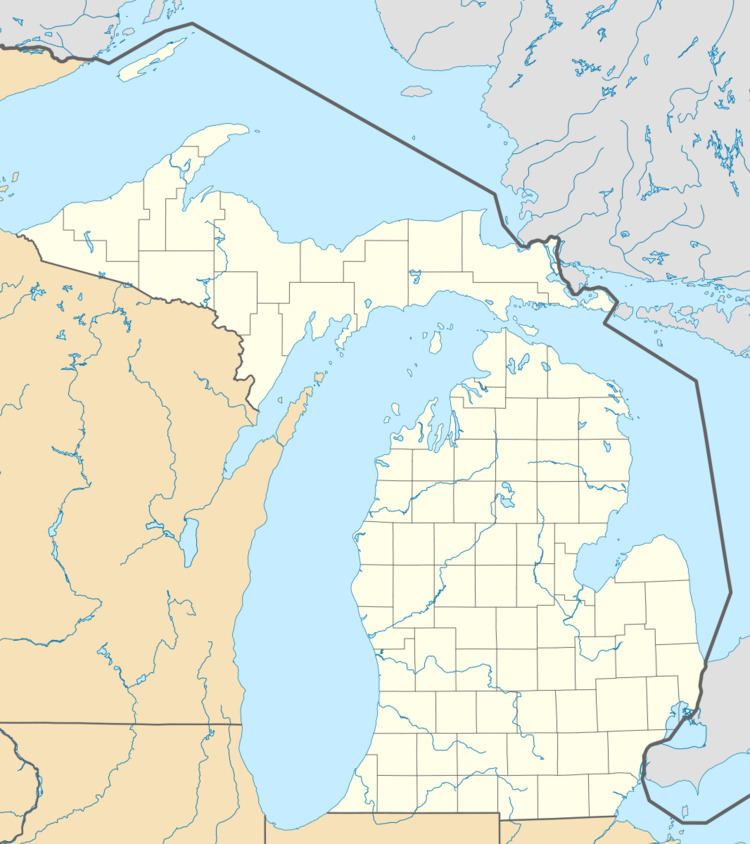
Map of Wales Township, MI, USA
Communities
There are a few unincorporated communities with the Township:
Geography
According to the United States Census Bureau, the township has a total area of 37.4 square miles (97 km2), of which 37.3 square miles (97 km2) is land and 0.04 square miles (0.10 km2) (0.05%) is water.
Demographics
As of the census of 2000, there were 2,986 people, 1,025 households, and 835 families residing in the township. The population density was 79.9 per square mile (30.9/km²). There were 1,059 housing units at an average density of 28.4 per square mile (10.9/km²). The racial makeup of the township was 95.75% White, 3.25% African American, 0.33% Native American, 0.07% Asian, 0.13% from other races, and 0.47% from two or more races. Hispanic or Latino of any race were 1.07% of the population.
There were 1,025 households out of which 38.0% had children under the age of 18 living with them, 70.6% were married couples living together, 7.8% had a female householder with no husband present, and 18.5% were non-families. 14.5% of all households were made up of individuals and 5.0% had someone living alone who was 65 years of age or older. The average household size was 2.89 and the average family size was 3.20.
In the township the population was spread out with 28.2% under the age of 18, 6.7% from 18 to 24, 30.9% from 25 to 44, 25.1% from 45 to 64, and 9.1% who were 65 years of age or older. The median age was 36 years. For every 100 females there were 103.5 males. For every 100 females age 18 and over, there were 99.5 males.
The median income for a household in the township was $51,716, and the median income for a family was $57,847. Males had a median income of $43,472 versus $27,250 for females. The per capita income for the township was $20,817. About 5.0% of families and 6.4% of the population were below the poverty line, including 9.2% of those under age 18 and 5.9% of those age 65 or over.