
Country Australia | ||
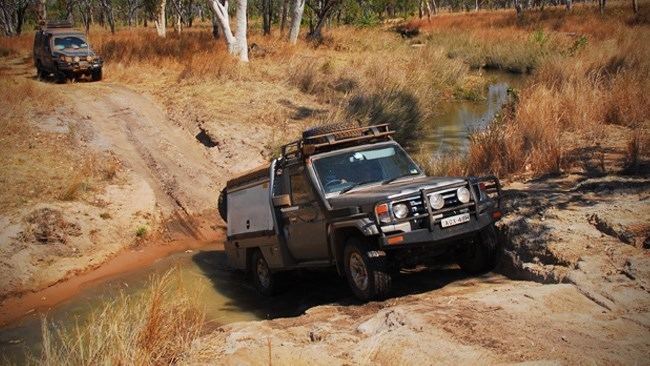 | ||
Flying australia charnley river headwaters to walcott inlet
Walcott Inlet is an estuary located in the Kimberley region of Western Australia. The inlet was named on 19 June 1865 by Trevarton Charles Sholl after Stephen Walcott, Commissioner of the Government Emigration Board, while on an exploratory expedition from the short-lived Camden Harbor settlement (in Camden Sound).
Contents
- Flying australia charnley river headwaters to walcott inlet
- Map of Walcott Inlet Western Australia Australia
- The kimberley episode 13 walcott inlet all 4 adventure tv
- References
Map of Walcott Inlet, Western Australia, Australia
The inlet is 66 km (41 mi) in length, with a width of 9 km (5.6 mi) and covering an area of 257 km2 (99 sq mi). It is tide dominated but in nearly pristine condition with a catchment area of 12,732 square kilometres (4,916 sq mi).
The entry to the inlet is 9 km (5.6 mi) in length and as little as 450 m (1,480 ft) wide. The mean tidal range at the mouth is 6.52 m (21.4 ft).
Collier Bay is located ocean side of the inlet which leads out into the Indian Ocean.
Three large rivers flow into the eastern end of the inlet: Charnley River, Calder River and Isdell River.