
Country Uganda Time zone EAT (UTC+3) Local time Friday 6:47 AM | Constituency Nakaseke North Elevation 1,080 m | |
 | ||
Weather 20°C, Wind SE at 6 km/h, 87% Humidity | ||
Wakyaato is a town in Nakaseke District, Central Uganda. The correct spelling of the town is with two "a"s after the "y". However, some sources have the wrong spelling with one "a".
Contents
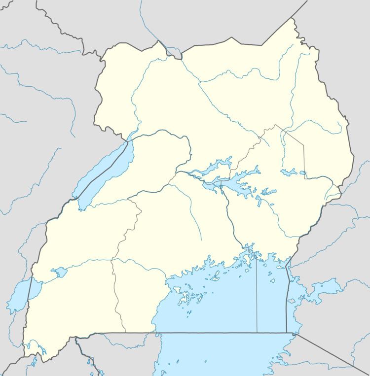
Map of Wakyato, Uganda
Location
The town of Wakyaato is located approximately 37.5 kilometres (23.3 mi), by road, west of Luweero, the largest town in the sub-region. This location is approximately 92 kilometres (57 mi), by road, northwest of Kampala, Uganda's capital and largest city. The coordinates of Wakyaato are:00 52 41N, 32 12 18E (Latitude:0.8790;Longitude:32.2000).
Overview
Wakyaato is a small town in northern Nakaseke District. It is the headquarters of Wakyaato Sub-county, one of the eight (8) Sub-counties that constitute the district. The northern part of the district is inhabited predominantly by pastoralist communities, contrasting with the subsistence agriculturalists who inhabit the southern part of Nakaseke District.
Population
The exact population of Wakyaato is not known, as of January 2010.
Landmarks
The landmarks within the town or close to its borders include: