
ZIP code 05673 Elevation 213 m Population 164 (2010) | Time zone Eastern (EST) (UTC-5) Area code(s) 802 Area 103 ha | |
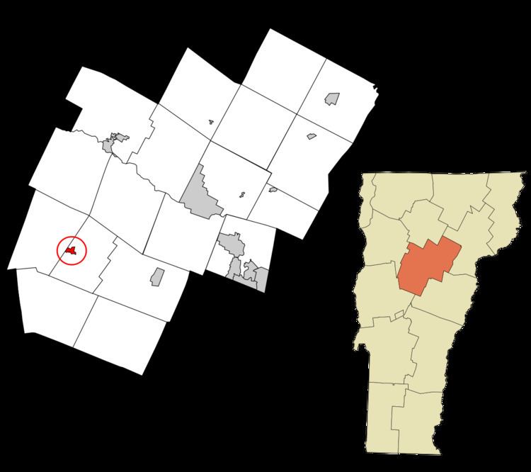 | ||
Waitsfield is a census-designated place (CDP) in the town of Waitsfield, Washington County, Vermont, United States. The population of the CDP was 164 at the 2010 census.
Geography
According to the United States Census Bureau, the Waitsfield CDP has a total area of 0.40 square miles (1.03 km2), of which 0.39 square miles (1.00 km2) is land and 0.015 square miles (0.04 km2), or 3.72%, is water. The village is located along the Mad River and Vermont Route 100, 1.1 miles (1.8 km) north of the neighboring village of Irasville, 6 miles (10 km) north of Warren, and 12 miles (19 km) south of Waterbury.
References
Waitsfield (CDP), Vermont Wikipedia(Text) CC BY-SA