
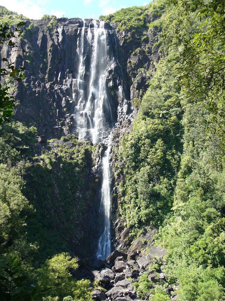
Total height 153m | Type Tiered Watercourse Wairere Stream Height 153 m | |
 | ||
Hours Open today · Open 24 hoursFridayOpen 24 hoursSaturdayOpen 24 hoursSundayOpen 24 hoursMondayOpen 24 hoursTuesdayOpen 24 hoursWednesdayOpen 24 hoursThursdayOpen 24 hoursSuggest an edit Similar Firth Tower Museum, Bridal Veil Falls, Karangahake Gorge, Hobbiton Movie Set, Okere Falls | ||
Wairere falls matamata nz
For Wairere Falls and power station in King Country see Mokau River.
Contents
Wairere Falls, the highest waterfall in New Zealand's North Island, plunges 153 metres (500 feet) in two steps over the Kaimai escarpment
The waterfall is located between Te Aroha and Matamata. A walking track runs from the car park at the end of Goodwin Road, up the valley of the stream to a viewing platform, and thence to the top of the plateau and the crest of the falls. Once at the top one can continue onto the North South track that runs the length of the Kaimai Ranges.
Wairere falls new zealand
References
Wairere Falls Wikipedia(Text) CC BY-SA