
Country New Zealand District Waipa District Website Waipa District Council Mayor Jim Mylchreest Area code 07 | Region Waikato Seat Te Awamutu Area 1,473 km² Local time Friday 9:54 AM | |
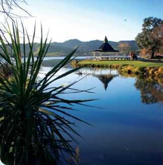 | ||
Weather 17°C, Wind SW at 10 km/h, 74% Humidity Wards Te Awamutu, Cambridge, Pirongia, Maungatautari, Kakepuku Points of interest Mount Pirongia, Heritage Gallery, Lake Ngaroto, Sanctuary Mountain Maungatautari, Vilagrad Winery | ||
Waipa District Council in the Waikato region of New Zealand is a municipality that covers Te Awamutu, Cambridge and several small towns. The seat of the council is at Te Awamutu.
Contents
Map of Waipa District, Waikato, New Zealand
Population
The district's population at the June 2016 was 51,600, of whom approximately 35% lived in each of the main two towns. The district has a land area of 1,473.47 km² (568.91 sq mi). It has five wards: Te Awamutu, Cambridge, Pirongia, Maungatautari and Kakepuku.
The district is located due south of the city of Hamilton. The region's economy is based largely on dairy farming and cereal production. The southeastern corner of the district includes the hydroelectric project at Karapiro.
References
Waipa District Wikipedia(Text) CC BY-SA