Country Libya Opening date 1971 Length 365 m (1,198 ft) Opened 1971 Surface area 18 km² | Status Operational Height 55 m Catchment area 1,224 km² Construction began 1968 | |
 | ||
Spillway capacity Spillway: 92 m/s (3,249 cu ft/s)Outlet works: 148 m/s (5,227 cu ft/s)Total: 240 m/s (8,476 cu ft/s) Similar Kyzyl‑Agash Dam failure, Zeyzoun Dam, Dale Dike Reservoir, Llyn Eigiau, Koshi Barrage | ||
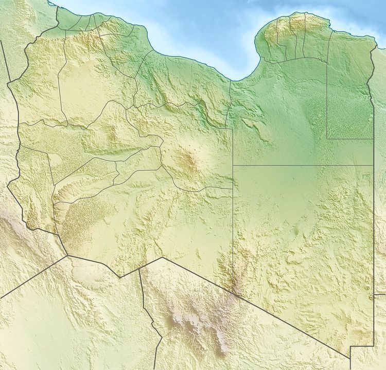
The Wadi Qattara Dam, also referred to as Gattara or Al-Qattarah, is a clay-fill embankment dam located on Wadi Al-Qattara, 33 km (21 mi) east of Benghazi in Libya. Together with a secondary dam located 10 km (6 mi) downstream at 31°59′43″N 20°20′04″E and seven drop structures, the scheme was constructed after floods damaged the Benghazi area in 1938 and 1954. They were also constructed for irrigation water supply. Construction of the dams began in 1968 and was completed in 1971. However, a flood in 1979 severely damaged the main dam and destroyed the secondary dam downstream. The main dam was rehabilitated and the secondary dam was replaced with a rock-fill dam between 2000 and 2004 at a cost of US$30 million. The main dam was heightened 7 m (23 ft) and its total discharge capacity was increased to 240 m3/s (8,476 cu ft/s). Both dams were designed by Coyne et Bellier.
