Arabic وادي قباني Palestine grid 142/196 Local time Thursday 9:07 PM | Population 320 (1945) Date of depopulation Not known | |
 | ||
Weather 19°C, Wind W at 14 km/h, 78% Humidity | ||
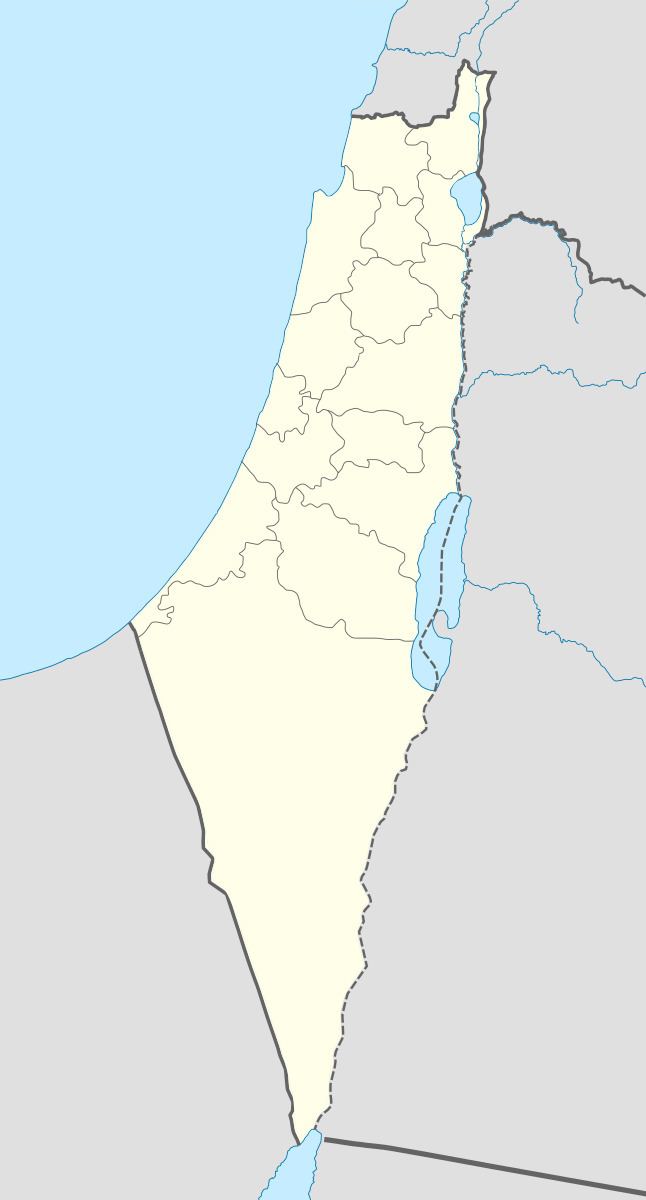
Wadi Qabbani (Arabic: وادي قباني), also known as Khirbat ash Sheik Husein (Arabic: خربة الشيخ حسين) was a Palestinian Arab village in the Tulkarm Subdistrict. It was probably depopulated during the 1947–48 Civil War in Mandatory Palestine on March 1, 1948 as part of Operation Coastal Clearing. It was located 12 km northwest of Tulkarm. The name, Qabbani came from the Lebanese family who owned most of the land.
Contents
History
The Khirbat al-Shaykh Husayn is located in the village, which had artifacts dating to the Roman period.
British Mandate era
In 1945 the village had a total population of 210 Muslims with a total of 9,812 dunams of land.
The land ownership of the village before occupation in dunams:
Of this, Arabs used 408 dunums for cereals, while a total of 1,301 dunams were classified as non-cultivable land.
Types of land use in dunams in the village in 1945:
