
County Posey Time zone Central (CST) (UTC-6) Elevation 146 m | State Indiana ZIP code 47638 Local time Thursday 12:52 PM | |
 | ||
Weather 11°C, Wind NW at 32 km/h, 62% Humidity | ||
4211 mary anderson road wadesville indiana
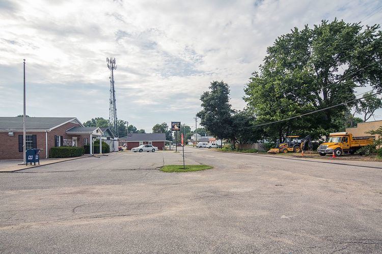
Wadesville is an unincorporated community in northern Center Township, Posey County, in the U.S. state of Indiana. It lies along State Road 66 northeast of the city of Mt. Vernon, the county seat of Posey County. Its elevation is 479 feet (146 m). Although Wadesville is unincorporated, it has a post office, with the ZIP code of 47638.
Contents
Map of Wadesville, IN 47638, USA
History
Wadesville was laid out in 1852. The community was named for the Wade family of settlers. A post office has been in operation at Wadesville since 1855.
Highways
References
Wadesville, Indiana Wikipedia(Text) CC BY-SA