
Country United States Time zone CST (UTC-6) Elevation 154 m Local time Thursday 12:43 PM | Established November 8, 1859 ZIP codes 62448, 62479 Area 192.5 km² Population 4,475 (2010) | |
 | ||
Weather 11°C, Wind NW at 32 km/h, 62% Humidity | ||
Wade Township is one of eleven townships in Jasper County, Illinois, USA. As of the 2010 census, its population was 4,475 and it contained 2,082 housing units.
Contents
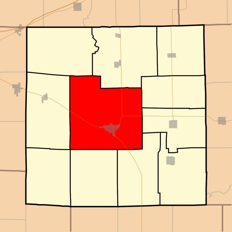
- Map of Wade Township IL USA
- Geography
- Cities towns villages
- Unincorporated towns
- Adjacent townships
- Cemeteries
- Major highways
- Airports and landing strips
- Rivers
- Lakes
- Landmarks
- School districts
- Political districts
- References
Map of Wade Township, IL, USA
Geography
According to the 2010 census, the township has a total area of 74.33 square miles (192.5 km2), of which 73.96 square miles (191.6 km2) (or 99.50%) is land and 0.37 square miles (0.96 km2) (or 0.50%) is water.
Cities, towns, villages
Unincorporated towns
(This list is based on USGS data and may include former settlements.)
Adjacent townships
Cemeteries
The township contains these twenty-two cemeteries: Bowers, Brick, Burford, Carter, Christian Chapel, Coburn, Gila Lutheran, Higgins/Colburn, Hickory, Jasper Family, Jones, Kibler, Liberty, Miller/Yager, Mt Calvery, New Saint Peters, Old Jasper County Poor Farm, Old Saint Peters, Redford, Riverside, Vanderhoof and West Lawn.