
Country United States Time zone CST (UTC-6) Area 144.8 km² Population 721 (2010) | Established November 8, 1859 Elevation 169 m Local time Saturday 2:29 PM | |
 | ||
ZIP codes 62428, 62432, 62436, 62448, 62481 Weather 15°C, Wind S at 13 km/h, 40% Humidity | ||
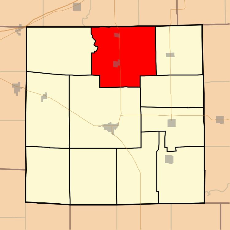
Crooked Creek Township is one of eleven townships in Jasper County, Illinois, USA. As of the 2010 census, its population was 721 and it contained 340 housing units.
Contents
- Map of Crooked Creek Township IL USA
- Geography
- Cities towns villages
- Unincorporated towns
- Adjacent townships
- Cemeteries
- Major highways
- School districts
- Political districts
- References
Map of Crooked Creek Township, IL, USA
Geography
According to the 2010 census, the township has a total area of 55.91 square miles (144.8 km2), all land.
Cities, towns, villages
Unincorporated towns
(This list is based on USGS data and may include former settlements.)
Adjacent townships
Cemeteries
The township contains these sixteen cemeteries: Andrews, Aten, Brooks, Brown, Coad, Harrisburg, Hayes, Hidalgo, Hunt/Cummins, Kilgore, Plainfield, Ross, Songer, Swick, Swick Family and Ward.
Major highways
School districts
Political districts
References
Crooked Creek Township, Jasper County, Illinois Wikipedia(Text) CC BY-SA