
Elevation 135 m Max length 2 km | Area 3.5 km² | |
 | ||
Time zone Myanmar Standard Time (UTC+6:30) | ||
Wa Kyun is an island in the Andaman Sea, right off the coast of Mon State, in the southern area of Burma. This 2 kilometres (1.2 mi) long island is located in the midst of a shoal or shallow area. It is covered with dense forest and rises to a height of 135 metres (443 ft).
Contents
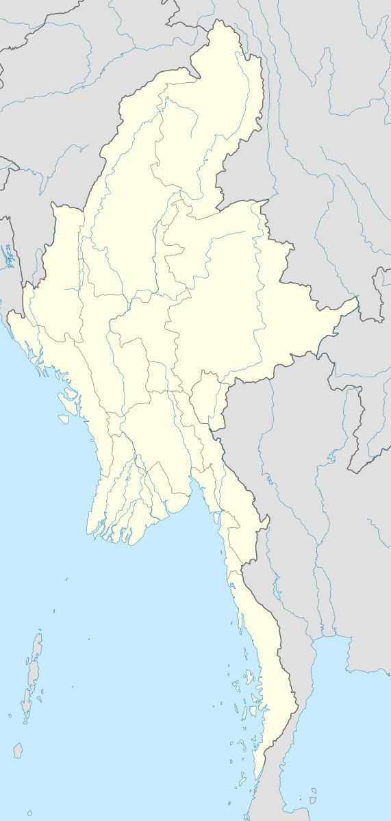
Map of Wa Kyun, Myanmar (Burma)
Geography
Wa Kyun is in the center of a chain of small coastal islands that lie off the mouth of the Ye River. The island of Kokunye Kyun is located 10 kilometres (6.2 mi) to the north of Wa Kyun.
Nearby islands
There are three smaller islands located on the same shoal as Wa Kyun:
References
Wa Kyun Wikipedia(Text) CC BY-SA