
Main source Taïx305 m (1,001 ft) Basin size 311 km (120 sq mi) Basin area 311 km² | River mouth Aveyron95 m (312 ft) Length 53 km | |
Discharge Average rate:2.15 m/s (76 cu ft/s) | ||
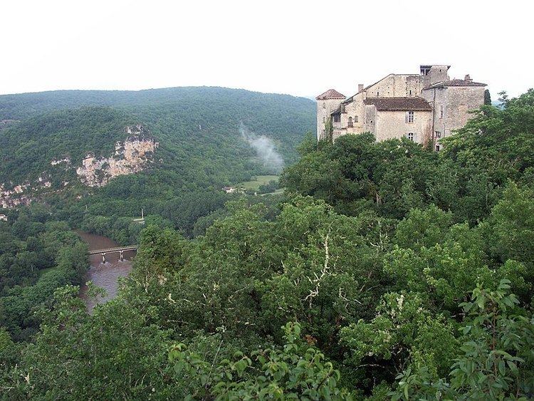
The Vère (French: la Vère) is a 53.3 km (33.1 mi) long river in the Tarn and Tarn-et-Garonne départements, southwestern France. Its source is at Taïx. It flows generally west-northwest. It is a left tributary of the Aveyron into which it flows at Bruniquel.
Contents
Map of La V%C3%A8re, France
Départements and communes along its course
This list is ordered from source to mouth:
References
Vère Wikipedia(Text) CC BY-SA