Elevation 283 m Local time Wednesday 1:18 PM | Area 14.72 km² | |
 | ||
Weather 16°C, Wind S at 6 km/h, 53% Humidity | ||
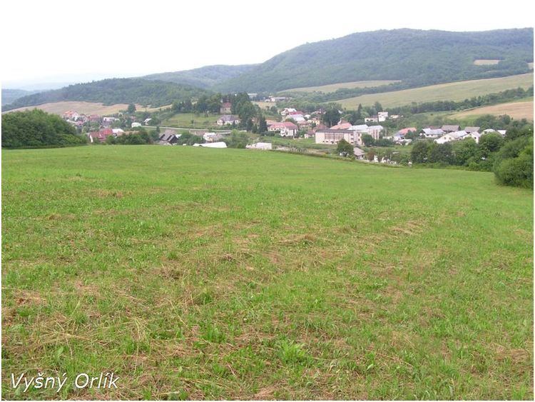
Vyšný Orlík is a village and municipality in Svidník District in the Prešov Region of north-eastern Slovakia.
Contents
Map of 090 11 Vy%C5%A1n%C3%BD Orl%C3%ADk, Slovakia
History
The village was first mentioned in 1414 and had various names throughout history such as Felsoodor (1907-1913) and later, Vyšný Orlík. The Greek Catholic church of the Accession of the Lord was established in 1793 and this village is predominately Carpatho-Rusyn Greek Catholic.
A more detailed history with photographs can be found at....
Vyšný Orlík - The Carpathian Connection
Geography
The municipality lies at an altitude of 283 metres and covers an area of 14.716 km². It has a population of about 413 people.
References
Vyšný Orlík Wikipedia(Text) CC BY-SA
