
Elevation 502 m Local time Wednesday 1:17 PM | Area 6 km² | |
 | ||
Weather 15°C, Wind S at 6 km/h, 53% Humidity Points of interest Dukla Pass, Dukelské bojiště a památník, Vyhliadková veža Dukla, Chrám sv Kozmu a Damiána | ||
By e przej cie graniczne barwinek vy n kom rnik
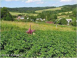
Vyšný Komárnik is a village and municipality in Svidník District in the Prešov Region of north-eastern Slovakia, in the Laborec Highlands.
Contents
- By e przej cie graniczne barwinek vy n kom rnik
- Map of 090 05 VyC5A1nC3BD KomC3A1rnik Slovakia
- History
- Geography
- References
Map of 090 05 Vy%C5%A1n%C3%BD Kom%C3%A1rnik, Slovakia
History
In historical records the village was first mentioned in 1600.
During World War II, Vyšný Komárnik was the first liberated village on the territory of (then) Czechoslovakia.
In 1949, the Czechoslovak government erected a memorial and cemetery southeast of the Dukla border crossing, It contains the graves of several hundred Russian and Czechoslovak soldiers. Several other memorials and cemeteries have also been erected in the region.
Geography
The municipality lies at an altitude of 440 metres and covers an area of 6.000 km². It has a population of about 79 people. It is also lying near the Dukla Pass, as well as near international border crossing with Poland.