
Area 4.9 km² | Local time Wednesday 8:50 AM | |
 | ||
Weather 8°C, Wind NE at 5 km/h, 86% Humidity | ||
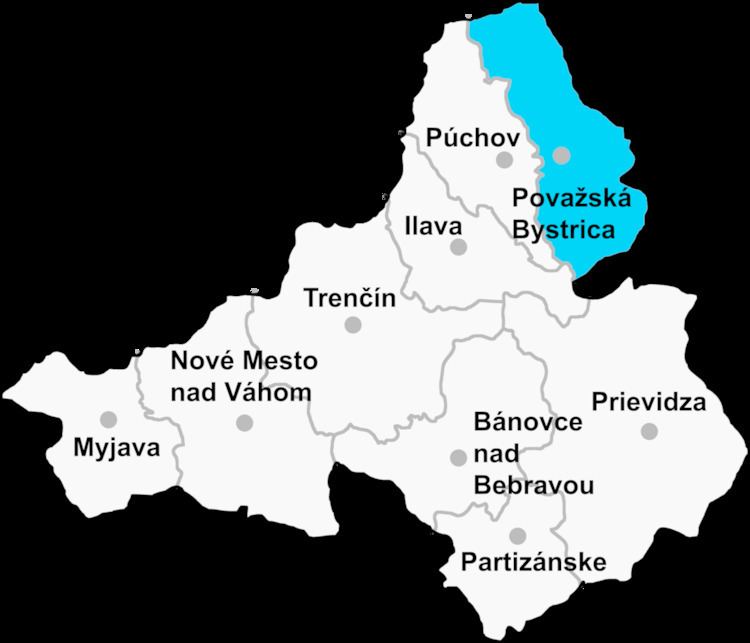
Vrchteplá (Hungarian: Felsőhéve) is a village and municipality in Považská Bystrica District in the Trenčín Region of north-western Slovakia.
Contents
Map of 017 05 Vrchtepl%C3%A1, Slovakia
History
In historical records the village was first mentioned in 1430.
Geography
The municipality lies at an altitude of 520 metres and covers an area of 4.897 km². It has a population of about 256 people.
References
Vrchteplá Wikipedia(Text) CC BY-SA