
Time zone EET (UTC+2) Local time Wednesday 6:27 AM Municipality Sparta | Elevation 447 m (1,467 ft) Postal code 230 59 Area code 27310 | |
 | ||
Weather 9°C, Wind W at 2 km/h, 84% Humidity | ||
Vordonia (Greek: Βορδόνια) is a small village in the base of Taygetos mountain, in Laconia, Greece. The village is divided into three communities (Kampos, Kato Hora and Pano Hora) and is part of the municipality of Sparti.
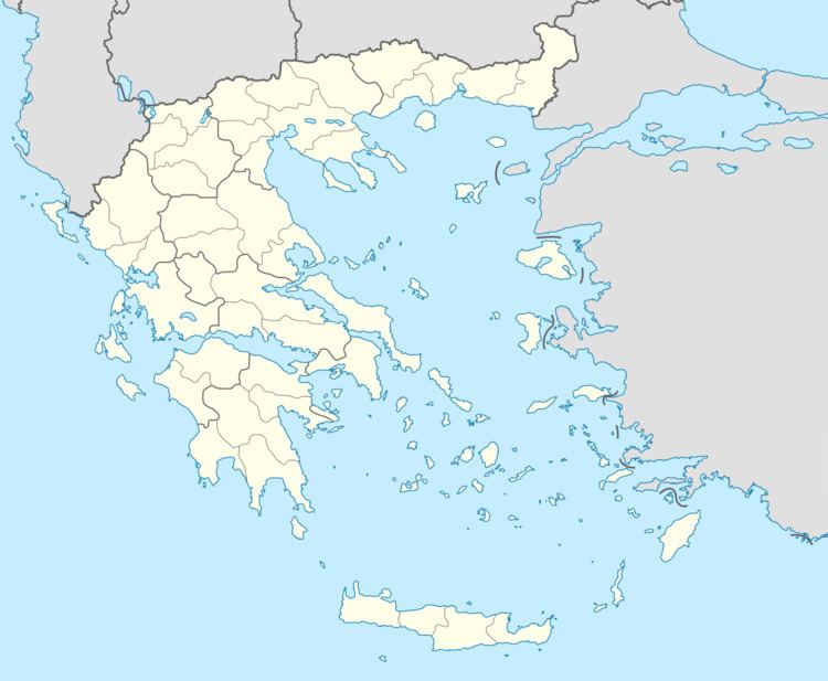
Map of Vordonia 230 59, Greece
The name Vordonia is believed to harken back to the Villehardouin family, the first ruling dynasty of the Principality of Achaea after the Fourth Crusade (1204). William II Villehardouin located his capital at the town of Mystras, some 10 km SW of Vordonia. The Crusader castle located above the village lends credibility to this hypothesis.
References
Vordonia Wikipedia(Text) CC BY-SA