
District Germersheim Elevation 142 m (466 ft) Area 218 ha Postal code 76744 Dialling code 06340 | Time zone CET/CEST (UTC+1/+2) Local time Wednesday 1:21 AM Population 213 (31 Dec 2008) | |
 | ||
Weather 10°C, Wind NE at 8 km/h, 70% Humidity | ||
Vollmersweiler is a municipality in the district of Germersheim, in Rhineland-Palatinate, Germany.
Contents
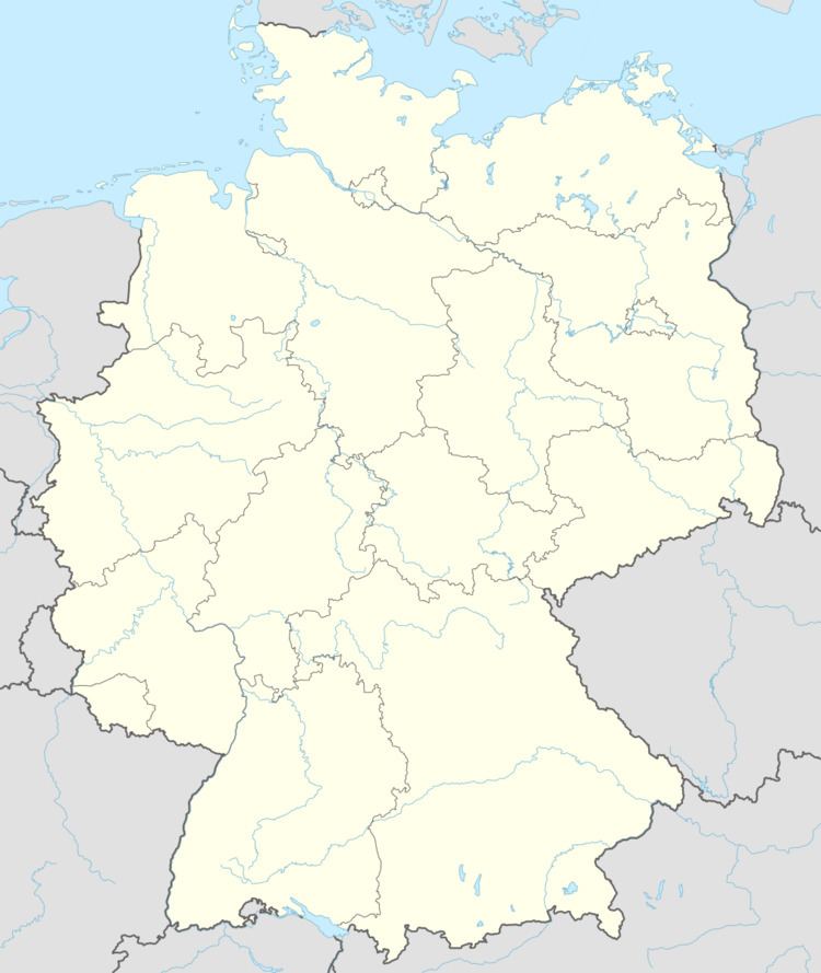
Map of Vollmersweiler, Germany
Location
The village is located in the southern Palatinate between Karlsruhe and Landau. Since 1972 the community has belonged to the Kandel municipal association, whose administrative headquarters is in the town of Kandel.
History
Vollmersweiler once belonged to the lords of Guttenberg castle. For a time in the 18th Century it shared a Schultheiß with the town of Niederotterbach on the west.
Religion
In 2007, 50% of the population was Protestant and 24.8% Catholic. The remainder belonged to a different religion or none.
Government
The council consists of seven council members, including the Mayor. It was elected in municipal elections on June 13, 2004. Elvira Oberle (SPD) has been Mayor of since 1991.
Coat of arms
The blazon of the arms is: In red a slanting silver plowblade.
It was approved in 1931 by the Bavarian State Ministry of the Interior and goes back to a common judicial seal of and Niederotterbach from the year 1581.