
Last eruption Unknown | Elevation 3,542 m Parent range Sierra Madre de Chiapas | |
 | ||
Similar Volcán Siete Orej, Moyuta, Chicabal, Tecuamburro, Almolonga | ||
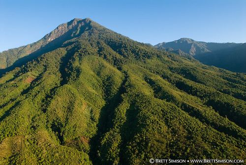
Volcán Santo Tomás is a stratovolcano in southern Guatemala. It is also known as "Volcán Pecul", or as "Cerro Zunil" the name of its youngest and most prominent dome which was last active approximately 84,000 years ago (K-Ar dating).
Map of Volcan Santo Tomas, Guatemala
Geothermal activity can be observed in the form of Solfataras and thermal springs which are located on the west of the ridge between Santo Tomás and Zunil.
References
Volcán Santo Tomás Wikipedia(Text) CC BY-SA