
Demonym(s) Voerendaler Postcode 6310–6312, 6343, 6367 Area 31.55 km² | Elevation 92 m (302 ft) Time zone CET (UTC+1) Website www.voerendaal.nl Local time Tuesday 7:39 PM Area code 045 | |
 | ||
Weather 15°C, Wind N at 8 km/h, 51% Humidity | ||
Voerendaal ( [ˈvuːrə(n)daːl]; Limburgish: Voelender) is a municipality and a town in the southeastern Netherlands.
Contents
Map of Voerendaal, Netherlands
Population centres
Barrier, Colmont, Craubeek, Dolberg, Fromberg, Heek, Hellebeuk, Klimmen, Koulen, Kunrade, Mingersberg, Opscheumer, Overheek, Ransdaal, Retersbeek, Termaar, Termoors, Ubachsberg, Voerendaal, Weustenrade, Winthagen.
Dutch topographic map of the municipality of Voerendaal, June 2015
History
The Romans left the ruins from a Roman villa rustica as a legacy. In 1049 pope Leo IX initiated the Catholic Church - Sint Laurentiuskerk. During medieval times many castles were built: Cortenbach, Haeren, Puth, Rivieren and Terworm. Also castles such as Hoenshuis and Overst Voerendaal. The area was mined for marl (mergel in Dutch) and coal.
Transportation
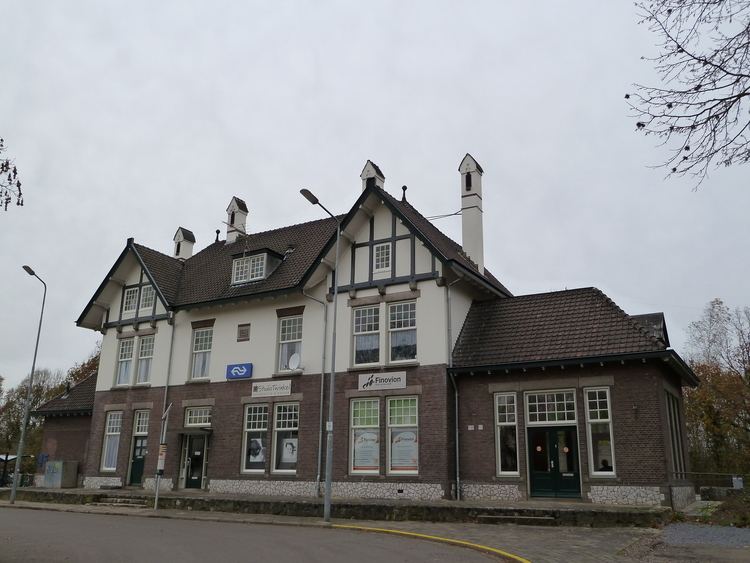
Railway Station:Klimmen-Ransdaal, Voerendaal