
Elevation 530 m Local time Tuesday 6:40 PM | Area 4.77 km² | |
 | ||
Weather 10°C, Wind NW at 24 km/h, 74% Humidity | ||
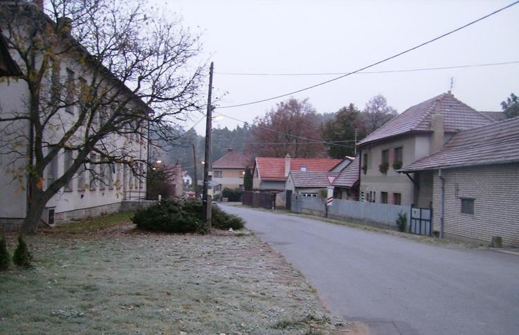
Vlčatín is a Moravian village in the Třebíč district and the Vysočina region. It is located north of Třebíč and 6 km south of Velké Meziříčí. East of the village there are hills named Vlčatínský vrch, Telečkov and Hradisko. There is a railway leading to Náměšť nad Oslavou; the river Oslavička flows through the village.
Contents
Map of 675 05 Vl%C4%8Dat%C3%ADn, Czechia
Vlčatín was first mentioned in 1296, when it was a part of Okarec manor. In 1417 Vlčatín belonged to Vlček z Okárce, in 1447 to Mikuláš Nepr z Vojslavic. The Hradisko hill is a place where there allegedly stood a wooden castle. Only remnants of battlements of a stronghold can still be found there (its name is said to have been Kočičí hrádek). It was burned and destroyed by the soldiers of Jan Žižka z Trocnova.
A chronicle is continually written since 1893. One of the greatest Czech poets of the 20th century, Jan Zahradníček, died in Vlčatín on October 7, 1960.