
Quadrant NE Established 1962 Area 100 ha Population 2,190 (2006) | Ward 5 Elevation 1,090 m (3,580 ft) Local time Tuesday 2:28 AM | |
 | ||
Weather -4°C, Wind W at 3 km/h, 80% Humidity Points of interest The Locked Room, Francos Aquariums, Escape Hour Restaurants JOEY Barlow, White Elephant Thai Cuis, Misai Japanese, Earls Kitchen + Bar, The Hidden Spot | ||
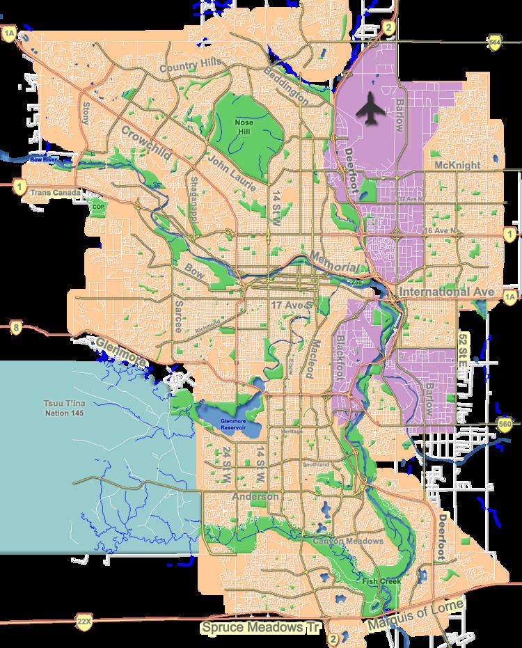
Vista Heights is a residential neighbourhood in the north-east quadrant of Calgary, Alberta. It is bounded to the south by the Trans-Canada Highway and to the west by Deerfoot Trail. To the north and east it borders the South Airways Industrial Area.
Contents
Map of Vista Heights, Calgary, AB, Canada
Vista Heights was established in 1962. It is represented in the Calgary City Council by the Ward 5 councillor.
Demographics
In the City of Calgary's 2012 municipal census, Vista Heights had a population of 2,204 living in 844 dwellings, a -3.1% increase from its 2011 population of 2,274. With a land area of 1.1 km2 (0.42 sq mi), it had a population density of 2,000/km2 (5,190/sq mi) in 2012.
Residents in this community had a median household income of $51,370 in 2000, and there were 25.4% low income residents living in the neighbourhood. As of 2000, 18.6% of the residents were immigrants. Most buildings were single-family detached homes and row houses, and 47% of the housing was used for renting.
Education
The community is served by the Vista Heights Elementary public school.