Intercommunality Osartis Area 6.42 km² Local time Tuesday 6:05 AM INSEE/Postal code 62864 / 62156 | Time zone CET (UTC+1) Population 536 (1999) Area1 6.42 km2 (2.48 sq mi) | |
 | ||
Weather 6°C, Wind NW at 5 km/h, 92% Humidity | ||
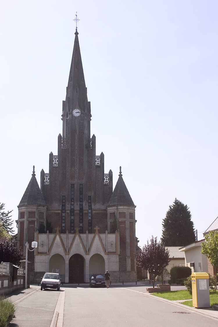
Vis-en-Artois is a commune in the Pas-de-Calais department in the Hauts-de-France region of France.
Contents
Map of 62156 Vis-en-Artois, France
Geography
Vis-en-Artois is situated 8 miles (12.9 km) southeast of Arras, at the junction of the D939 and the D9 roads.
History
World War I deeply affected the town, which was under the thumb of German troops from September 30, 1914 until its liberation by Canadian forces on 24 August 1918.
During the year 1918 the village was completely destroyed. The people who had not fled before the arrival of the invading troops were evacuated to Belgium.
On 24 September 1920, Vis-en-Artois received the Croix de Guerre.
Places of interest
References
Vis-en-Artois Wikipedia(Text) CC BY-SA
