
Climate Dfb Local time Tuesday 5:25 AM | Time zone EET (UTC+2) Website www.virolahti.fi Municipal tax rate 20% | |
 | ||
Weather 0°C, Wind SW at 10 km/h, 94% Humidity | ||
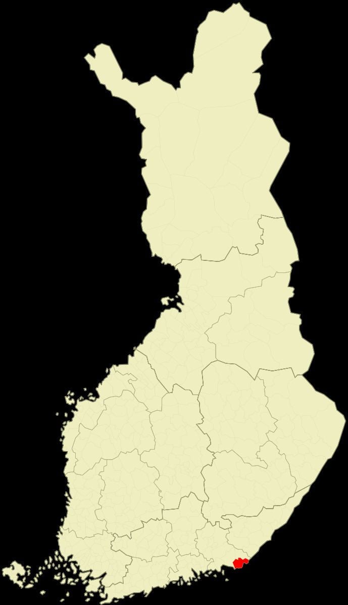
Virolahti (Swedish: Vederlax) is the southeastern-most municipality of Finland on the border of the Russian Federation. It is located in the province of Southern Finland and is part of the Kymenlaakso region. The municipality has a population of 3,327 (31 March 2016) and covers an area of 372.00 square kilometres (143.63 sq mi) of which 186.97 km2 (72.19 sq mi) is water. The population density is 8.94 inhabitants per square kilometre (23.2/sq mi).
Contents
Map of 49900 Virolahti, Finland
The municipality is unilingually Finnish.
Before World War I the Russian Emperor Nicholas II used to spend summers with his family in the archipelago of Virolahti with his yacht Standart, Finland being an autonomous province within the Russian empire between 1809 and 1917.
The Vaalimaa border crossing, which connects the municipality with Russia, is located in Virolahti.
Virolahti lost some of its area (over 100 km2 (39 sq mi)) to Soviet Union in Paris Peace Treaties, 1947 after World War II.
Villages in 1939
Villages marked with an asterisk (*) are now completely or partially on the Russian side:
Alapihlaja, Alaurpala*, Eerikkälä, Hailila, Hanski, Hellä (Heligby), Hämeenkylä (Tavastby), Häppilä, Järvenkylä, Kattilainen, Kiiskilahti* (now Kiyskinlakhti), Kirkonkylä, Klamila, Koivuniemi, Koskela*, Koskelanjoki, Kotola, Kurkela, Laitsalmi*, Länsikylä (Flonckarböle), Martinsaari* (Now Island of Maly Pogranichny), Mattila, Mustamaa, Nopala, Orslahti* (now Primorskoye), Paatio* (Båtö in Swedish, now Bolshoy Pogranitshny), Pajulahti, Pajusaari*, Pitkäpaasi* (Island of Gorniya Kamenya), Pyterlahti, Ravijoki, Ravijärvi, Reinikkala, Rännänen (Grennäs), Sydänkylä (Kallfjärd), Säkäjärvi, Tiilikkala, Vaalimaa (Vaderma), Vilkkilä, Virojoki, Yläpihlaja, Yläurpala* (now Torfjanovka).