
Eldership Virbalis eldership First mentioned 1529 Area 4.6 km² Population 1,314 (2005) | Capital of Virbalis eldership Time zone EET (UTC+2) Local time Tuesday 1:51 AM Granted city rights 1593 | |
 | ||
Weather 6°C, Wind NE at 8 km/h, 93% Humidity Municipality Vilkaviškis District Municipality | ||
Virtualus virbalio turas virtual tour of virbalis lithuania
Virbalis ( pronunciation , Polish: Wierzbołów, Yiddish: ווירבאלן Virbalen) is a city in the Vilkaviškis district municipality, Lithuania. It is located 12 km (7.5 mi) west of Vilkaviškis.
Contents
- Virtualus virbalio turas virtual tour of virbalis lithuania
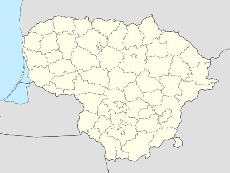
- Map of Virbalis Lithuania
- History
- References
Map of Virbalis, Lithuania
History
It is frequently mentioned in historical as well in modern literature. It was the site of the formation of the Wierzbołów Confederation by Paweł Jan Sapieha in 1655 during the Deluge (part of the Second Northern War). Later it was the first station for stagecoaches and later the first railway station in the Russian Empire when leaving Germany.
When in 1861 a branch of the Saint Petersburg – Warsaw Railway was built from Vilnius to the Prussian border, where it was linked to the Prussian Eastern Railway, the Russian border station near the village of Kybartai was named after the neighbouring town of Verzhbolovo. Meanwhile, Kybartai has become a town bigger than Virbalis, and the Lithuanian border station is now called Kybartai, too. The German station of the Prussian Eastern Railway on the western side of the frontier was Eydtkuhnen; today it is the Russian border station and called Chernyshevskoye (Russian: Черныше́вское).
From July to autumn 1941, an Einsatzgruppen of Germans and Lithuanian nationalists assassinated 670–700 Jews from Virbalis and the nearby town of Kybartai in mass executions. A memorial was built on the site of the massacre.