Country United States County Olmsted Time zone Central (CST) (UTC-6) Elevation 352 m | State Minnesota ZIP code 55934 Local time Monday 4:04 PM | |
 | ||
Weather 8°C, Wind N at 14 km/h, 94% Humidity | ||
Viola is an unincorporated community in Viola Township, Olmsted County, Minnesota, United States. It is the site of a yearly Gopher Count festival, which began in 1874.
Contents
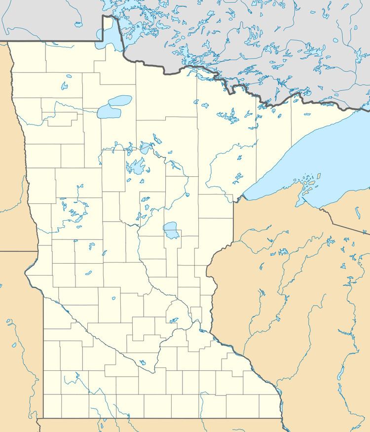
Map of Viola, MN 55934, USA
The community is located along Olmsted County Road 2 (Viola Road) near 105th Avenue NE and Center Street. State Highway 42 (MN 42) and Olmsted County Road 24 are also in the immediate area. Nearby places include Eyota, Elgin, and Rochester.
The North Fork of the Whitewater River flows through the community.
References
Viola, Minnesota Wikipedia(Text) CC BY-SA
